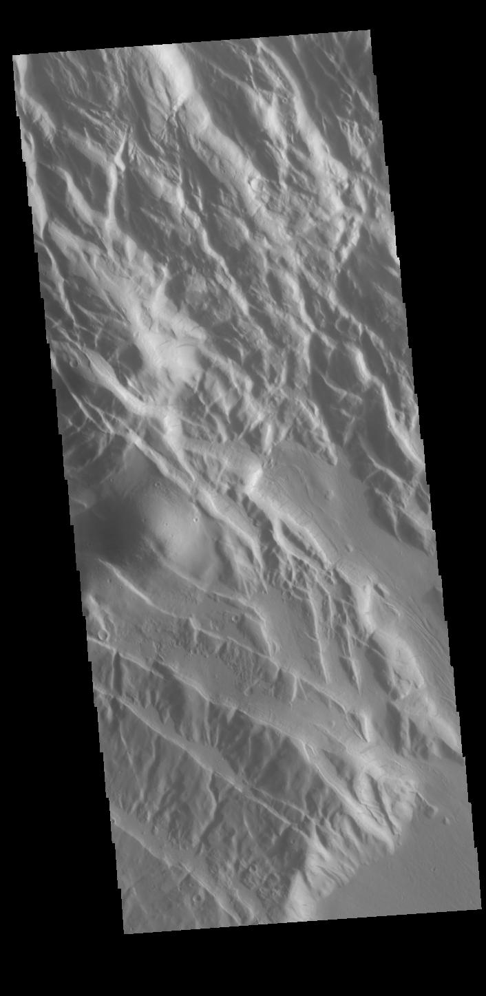
Context imageThis VIS shows part of Acheron Fossae. Acheron Fossae is the highly fractured, faulted and deformed terrain located 1,050 kilometers (650 miles) north of the large shield volcano Olympus Mons. Lava flows from Olympus Mons at the base of Acheron Fossae show that the fossae predate the flows. The scarps visible in this image are approximately one kilometer (3,300 feet) high.
Orbit Number: 85794 Latitude: 36.0816 Longitude: 229.11 Instrument: VIS Captured: 2021-04-17 12:16
Please see the THEMIS Data Citation Note for details on crediting THEMIS images.
NASA's Jet Propulsion Laboratory manages the 2001 Mars Odyssey mission for NASA's Science Mission Directorate, Washington, D.C. The Thermal Emission Imaging System (THEMIS) was developed by Arizona State University, Tempe, in collaboration with Raytheon Santa Barbara Remote Sensing. The THEMIS investigation is led by Dr. Philip Christensen at Arizona State University. Lockheed Martin Astronautics, Denver, is the prime contractor for the Odyssey project, and developed and built the orbiter. Mission operations are conducted jointly from Lockheed Martin and from JPL, a division of the California Institute of Technology in Pasadena.
