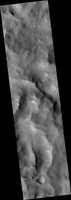
Map Projected Browse Image
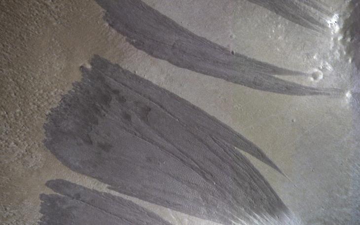
Click on image for larger versionRelatively dark slope streaks are common on steep dust-mantled slopes of Mars. When imaged under high sun illumination they appear to be just a dark stain without topographic relief.
However, when imaged with the sun low in the sky (and at high resolution), we can clearly see the topographic signature. Surface material has been removed from the upper slopes and deposited in lobes, as expected from landslides (also called "mass movements").
The map is projected here at a scale of 25 centimeters (9.8 inches) per pixel. (The original image scale is 27.7 centimeters [10.9 inches] per pixel [with 1 x 1 binning]; objects on the order of 83 centimeters [32.7 inches] across are resolved.) North is up.
The University of Arizona, in Tucson, operates HiRISE, which was built by Ball Aerospace & Technologies Corp., in Boulder, Colorado. NASA's Jet Propulsion Laboratory, a division of Caltech in Pasadena, California, manages the Mars Reconnaissance Orbiter Project for NASA's Science Mission Directorate, Washington.
