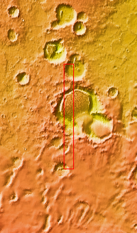
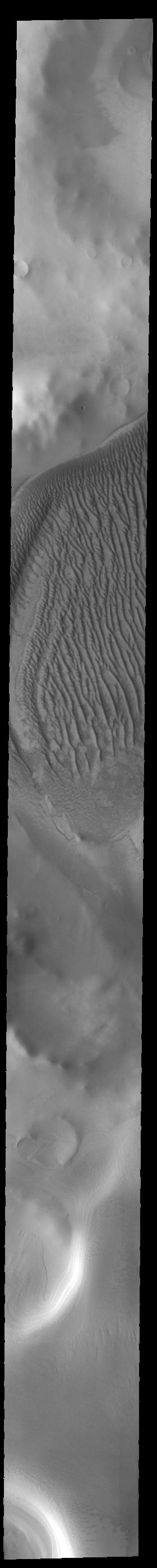
Context imageToday's VIS image shows part of Richardson Crater. A large sand sheets covers the floor of the crater. Linear dune forms are visible on the top of the sand mound. The dunes in this image are different from crater dunes found further north, due to the amount of ice present most of the year. Richardson Crater is 89 km (55 miles) in diameter.
Orbit Number: 84392 Latitude: -72.6105 Longitude: 178.805 Instrument: VIS Captured: 2020-12-23 03:00
Please see the THEMIS Data Citation Note for details on crediting THEMIS images.
NASA's Jet Propulsion Laboratory manages the 2001 Mars Odyssey mission for NASA's Science Mission Directorate, Washington, D.C. The Thermal Emission Imaging System (THEMIS) was developed by Arizona State University, Tempe, in collaboration with Raytheon Santa Barbara Remote Sensing. The THEMIS investigation is led by Dr. Philip Christensen at Arizona State University. Lockheed Martin Astronautics, Denver, is the prime contractor for the Odyssey project, and developed and built the orbiter. Mission operations are conducted jointly from Lockheed Martin and from JPL, a division of the California Institute of Technology in Pasadena.
