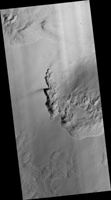
Map Projected Browse Image
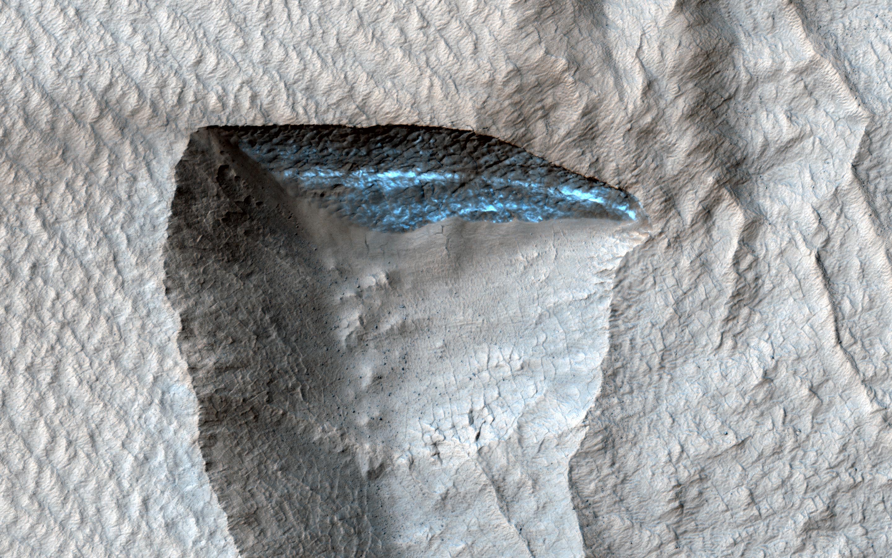
Click on image for larger versionThis HiRISE image shows a deposit draping the surface like a blanket. The deposit is eroding away, and near the center of the image we can see a section that is bright blue in enhanced color, although the true color is likely reddish. This scarp is exposing ice that makes up most of the mantling deposit.
Why can we only see ice on this small steep slope, instead of on level ground or the other eroded regions? The ice is covered by a layer of dust because exposed ice sublimates into the atmosphere, and only a steep, fresh exposure remains unburied.
The map is projected here at a scale of 25 centimeters (9.8 inches) per pixel. (The original image scale is 25.0 centimeters [9.8 inches] per pixel [with 1 x 1 binning]; objects on the order of 75 centimeters [29.5 inches] across are resolved.) North is up.
The University of Arizona, in Tucson, operates HiRISE, which was built by Ball Aerospace & Technologies Corp., in Boulder, Colorado. NASA's Jet Propulsion Laboratory, a division of Caltech in Pasadena, California, manages the Mars Reconnaissance Orbiter Project for NASA's Science Mission Directorate, Washington.

