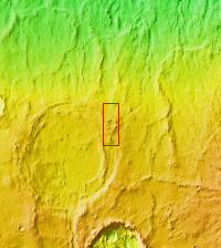
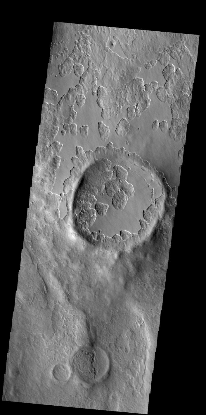
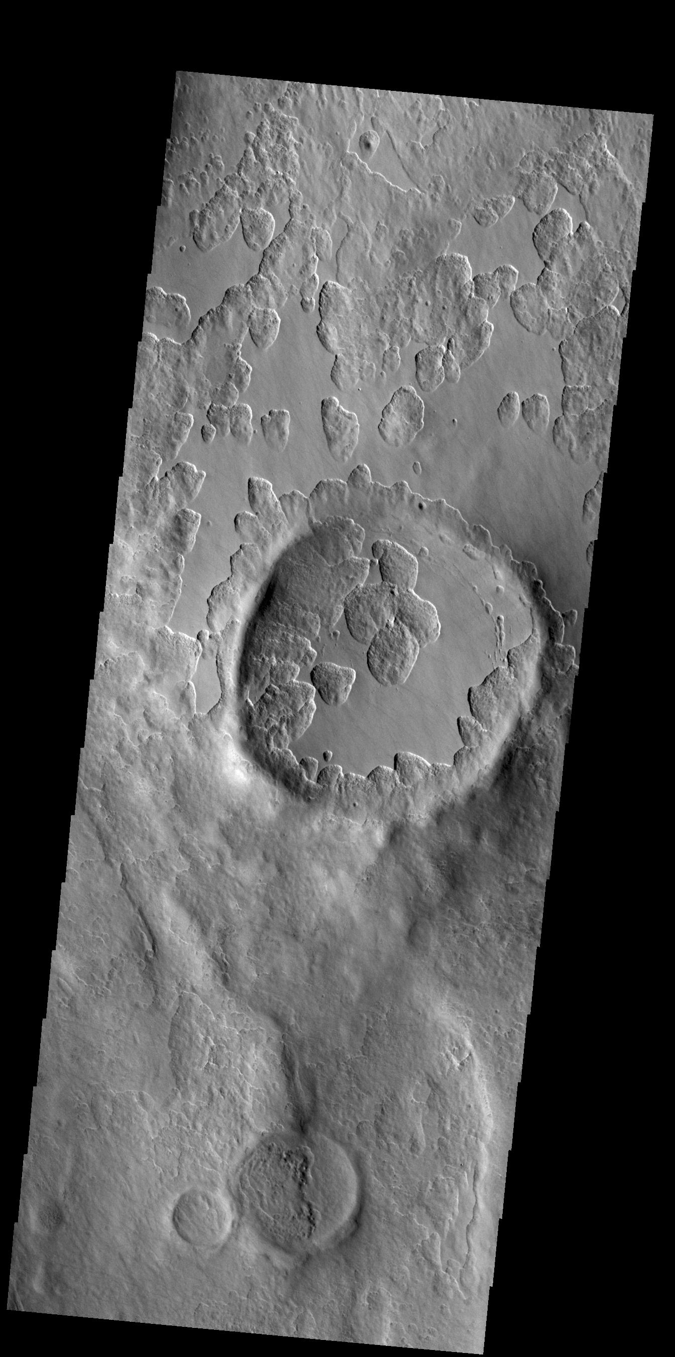
Context imageAn unusual layer of smooth material covers the flanks of the volcano Peneus Patera just south of the Hellas Basin. Though smooth on its upper surface, the layer is pitted by a process of erosion that produces steep scarps facing the south pole and more gentle slopes in the direction of the equator. The style of erosion of the smooth layer suggests that ice of some form plays a role in shaping this terrain.Orbit Number: 83810 Latitude: -57.2811 Longitude: 54.3276 Instrument: VIS Captured: 2020-11-05 04:51
Please see the THEMIS Data Citation Note for details on crediting THEMIS images.
NASA's Jet Propulsion Laboratory manages the 2001 Mars Odyssey mission for NASA's Science Mission Directorate, Washington, D.C. The Thermal Emission Imaging System (THEMIS) was developed by Arizona State University, Tempe, in collaboration with Raytheon Santa Barbara Remote Sensing. The THEMIS investigation is led by Dr. Philip Christensen at Arizona State University. Lockheed Martin Astronautics, Denver, is the prime contractor for the Odyssey project, and developed and built the orbiter. Mission operations are conducted jointly from Lockheed Martin and from JPL, a division of the California Institute of Technology in Pasadena.