- Original Caption Released with Image:
-
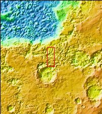
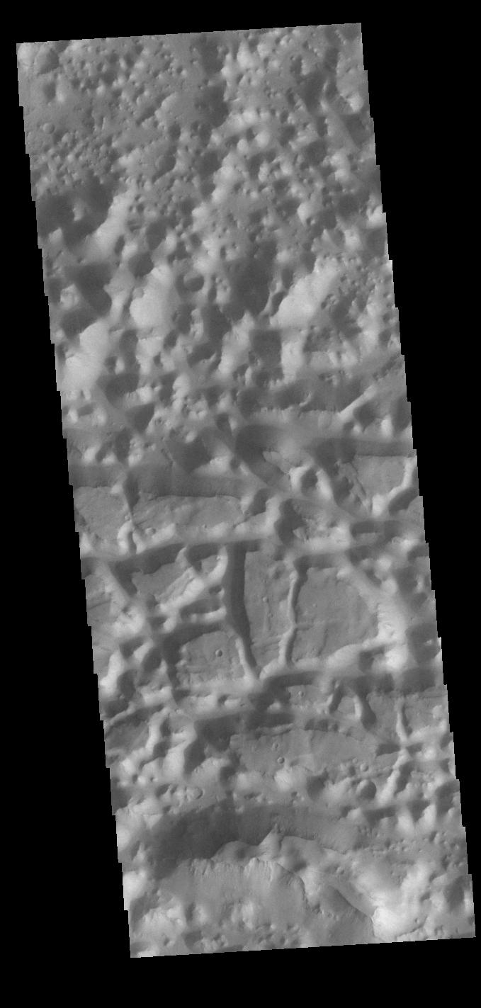
Context imageChaos terrain is typified by regions of blocky, often steep sided, mesas interspersed with deep valleys. With time and erosion the valleys widen and the mesas become smaller. In this region south of Eos Chasma there are regions where the mesas have eroded down into small hills (top of the image), as well as large, steep sided mesas (center to bottom of the image).Orbit Number: 82921 Latitude: -16.8648 Longitude: 318.197 Instrument: VIS Captured: 2020-08-24 00:40 Please see the THEMIS Data Citation Note for details on crediting THEMIS images. NASA's Jet Propulsion Laboratory manages the 2001 Mars Odyssey mission for NASA's Science Mission Directorate, Washington, D.C. The Thermal Emission Imaging System (THEMIS) was developed by Arizona State University, Tempe, in collaboration with Raytheon Santa Barbara Remote Sensing. The THEMIS investigation is led by Dr. Philip Christensen at Arizona State University. Lockheed Martin Astronautics, Denver, is the prime contractor for the Odyssey project, and developed and built the orbiter. Mission operations are conducted jointly from Lockheed Martin and from JPL, a division of the California Institute of Technology in Pasadena.
- Image Credit:
-
NASA/JPL-Caltech/ASU
Image Addition Date: -
2020-11-02
|