- Original Caption Released with Image:
-
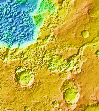
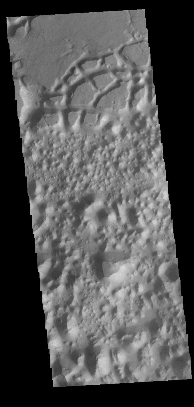
Context imageToday's VIS image is located in Margaritifer Terra near Eos Chasma. The ground in this region has been broken up into mesas and valleys, with the initial break up thought to be due to a release of groundwater. With continued erosion, the mesas become smaller and smaller, creating the jumble of hills seen at the bottom of this image.Orbit Number: 82609 Latitude: -16.5146 Longitude: 319.112 Instrument: VIS Captured: 2020-07-29 08:06 Please see the THEMIS Data Citation Note for details on crediting THEMIS images. NASA's Jet Propulsion Laboratory manages the 2001 Mars Odyssey mission for NASA's Science Mission Directorate, Washington, D.C. The Thermal Emission Imaging System (THEMIS) was developed by Arizona State University, Tempe, in collaboration with Raytheon Santa Barbara Remote Sensing. The THEMIS investigation is led by Dr. Philip Christensen at Arizona State University. Lockheed Martin Astronautics, Denver, is the prime contractor for the Odyssey project, and developed and built the orbiter. Mission operations are conducted jointly from Lockheed Martin and from JPL, a division of the California Institute of Technology in Pasadena.
- Image Credit:
-
NASA/JPL-Caltech/ASU
Image Addition Date: -
2020-10-09
|
