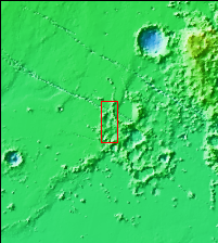
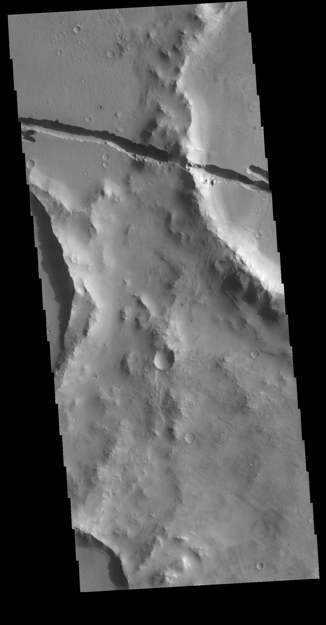
Context imageToday's VIS image shows a section of Cerberus Fossae. Located southeast of the Elysium Planitia volcanic complex, the linear graben near the top of the image was created by tectonic forces related to the volcanic activity. The graben are sources of both channels and significant volcanic flows. As seen in this image, the graben cuts across features such as hills, indicating the relative youth of the tectonic activity. Graben form where extensional tectonic forces allows blocks of material to subside between paired faults.
Orbit Number: 79944 Latitude: 9.53204 Longitude: 158.706 Instrument: VIS Captured: 2019-12-22 21:50
Please see the THEMIS Data Citation Note for details on crediting THEMIS images.
NASA's Jet Propulsion Laboratory manages the 2001 Mars Odyssey mission for NASA's Science Mission Directorate, Washington, D.C. The Thermal Emission Imaging System (THEMIS) was developed by Arizona State University, Tempe, in collaboration with Raytheon Santa Barbara Remote Sensing. The THEMIS investigation is led by Dr. Philip Christensen at Arizona State University. Lockheed Martin Astronautics, Denver, is the prime contractor for the Odyssey project, and developed and built the orbiter. Mission operations are conducted jointly from Lockheed Martin and from JPL, a division of the California Institute of Technology in Pasadena.


