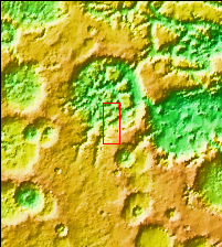
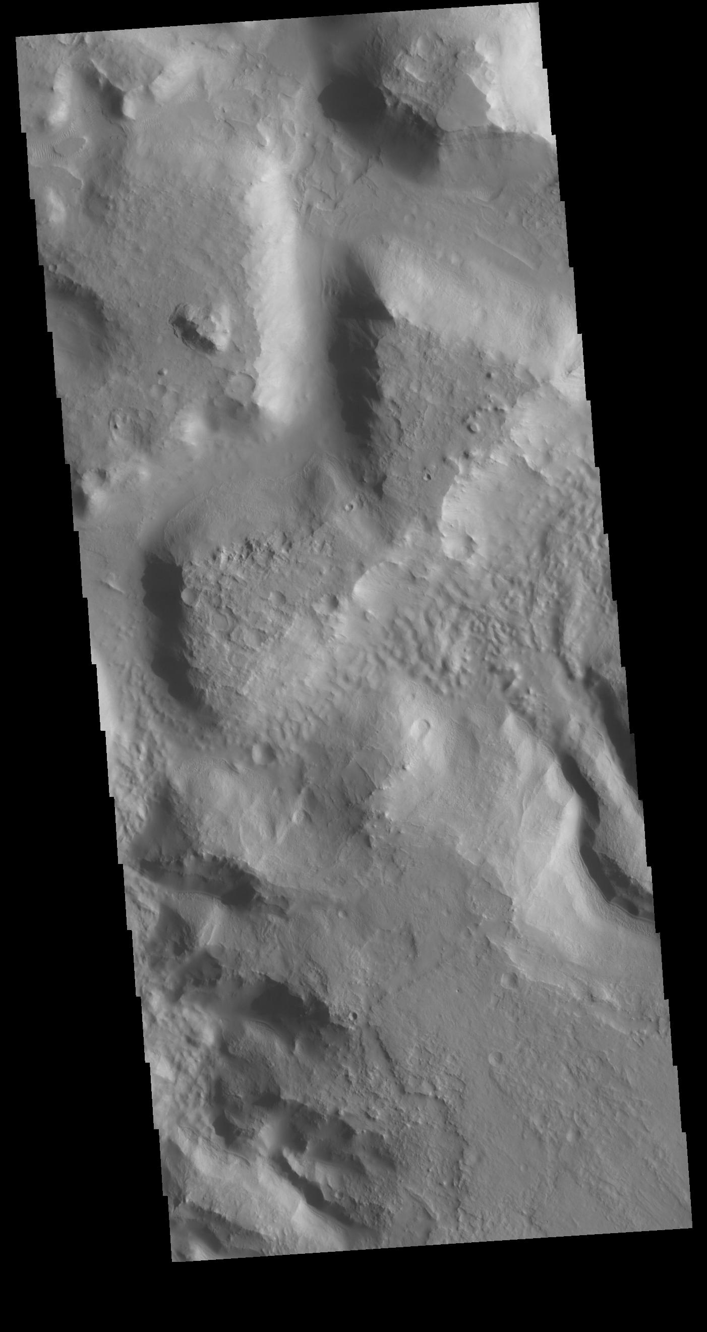
Context imageToday's VIS image shows an unnamed channel in northern Terra Sabaea. The regional boundary between the highlands of Terra Sabaea and lowlands of Utopia Planitia is heavily dissected by both fluid flow channels and extensive faulting.
Orbit Number: 79922 Latitude: 28.8312 Longitude: 70.6552 Instrument: VIS Captured: 2019-12-21 02:28
Please see the THEMIS Data Citation Note for details on crediting THEMIS images.
NASA's Jet Propulsion Laboratory manages the 2001 Mars Odyssey mission for NASA's Science Mission Directorate, Washington, D.C. The Thermal Emission Imaging System (THEMIS) was developed by Arizona State University, Tempe, in collaboration with Raytheon Santa Barbara Remote Sensing. The THEMIS investigation is led by Dr. Philip Christensen at Arizona State University. Lockheed Martin Astronautics, Denver, is the prime contractor for the Odyssey project, and developed and built the orbiter. Mission operations are conducted jointly from Lockheed Martin and from JPL, a division of the California Institute of Technology in Pasadena.
