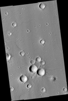
Map Projected Browse Image
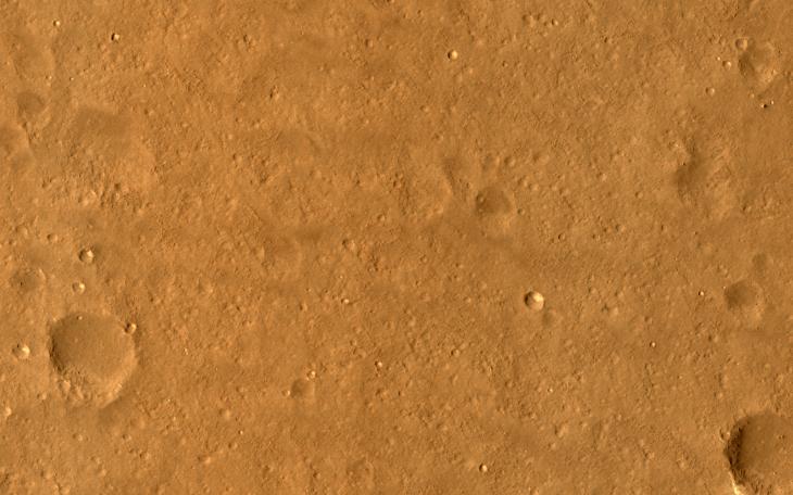
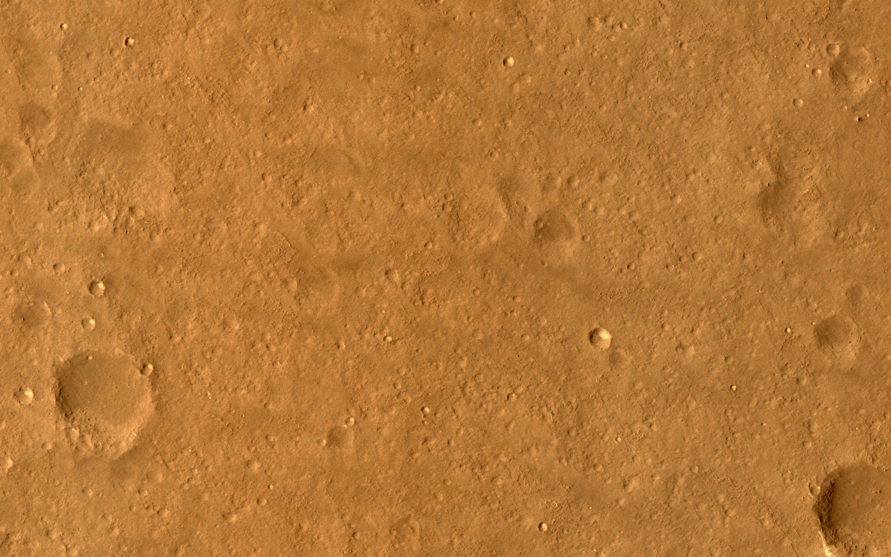
Click on image for larger versionThis image samples the smooth plains within one of the areas being considered for setting down China's lander and rover, expected to launch in 2020.
While smooth on large scales, HiRISE reveals small-scale roughness elements, including craters, boulders, and other features. Such hazards may be avoided by using "terminal hazard avoidance," a technology China has demonstrated on the Moon.
Utopia Planitia may have been extensively resurfaced by mud flows, so it is an interesting place to investigate potential past subsurface habitability.
The map is projected here at a scale of 25 centimeters (9.8 inches) per pixel. (The original image scale is 28.9 centimeters [11.4 inches] per pixel [with 1 x 1 binning] to 57.7 centimeters (22.7 inches) per pixel [with 2 x 2 binning].) North is up.
The University of Arizona, in Tucson, operates HiRISE, which was built by Ball Aerospace & Technologies Corp., in Boulder, Colorado. NASA's Jet Propulsion Laboratory, a division of Caltech in Pasadena, California, manages the Mars Reconnaissance Orbiter Project for NASA's Science Mission Directorate, Washington.
