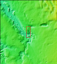
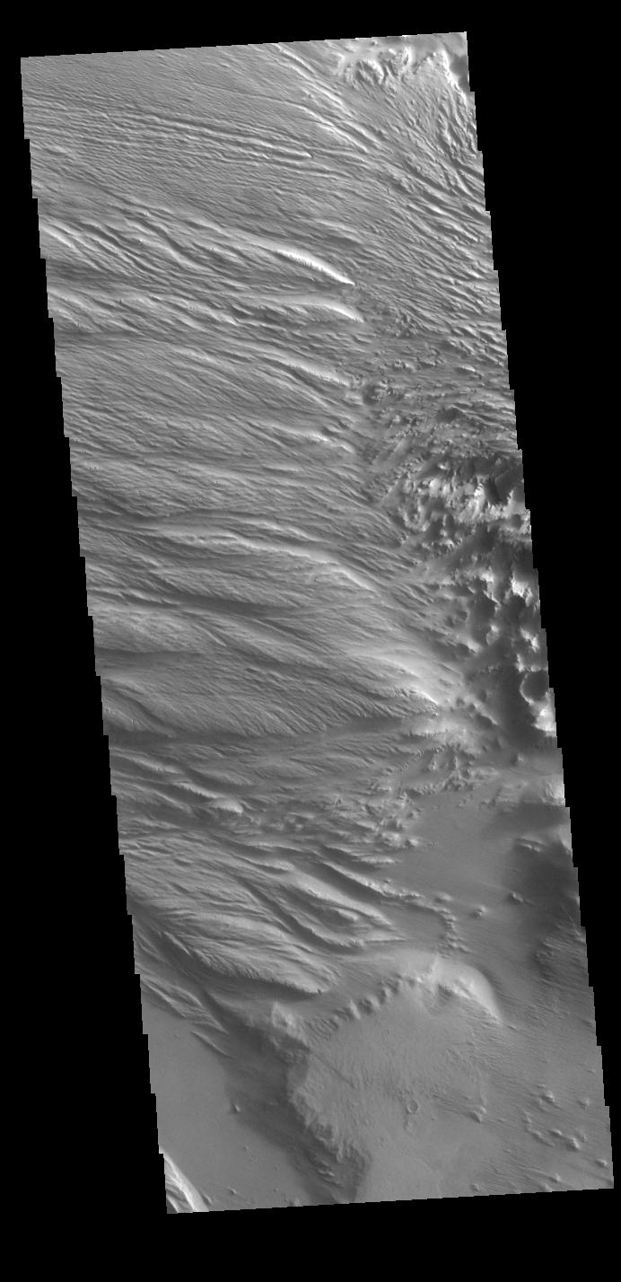
Context imageToday's VIS image is located at the intersection of Medusae Fossae and Medusae Sulci. Long term surface winds have eroded materials in this region, creating ridges and valleys aligned with the direction of the wind. To form the surface features seen in this image, the surface must have been soft and easily eroded. It has been suggested that the materials may be volcanic ash from nearby volcanoes (Olympus Mons and Arsia Mons).
Orbit Number: 79431 Latitude: -3.99572 Longitude: 200.385 Instrument: VIS Captured: 2019-11-10 15:59
Please see the THEMIS Data Citation Note for details on crediting THEMIS images.
NASA's Jet Propulsion Laboratory manages the 2001 Mars Odyssey mission for NASA's Science Mission Directorate, Washington, D.C. The Thermal Emission Imaging System (THEMIS) was developed by Arizona State University, Tempe, in collaboration with Raytheon Santa Barbara Remote Sensing. The THEMIS investigation is led by Dr. Philip Christensen at Arizona State University. Lockheed Martin Astronautics, Denver, is the prime contractor for the Odyssey project, and developed and built the orbiter. Mission operations are conducted jointly from Lockheed Martin and from JPL, a division of the California Institute of Technology in Pasadena.
