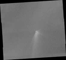
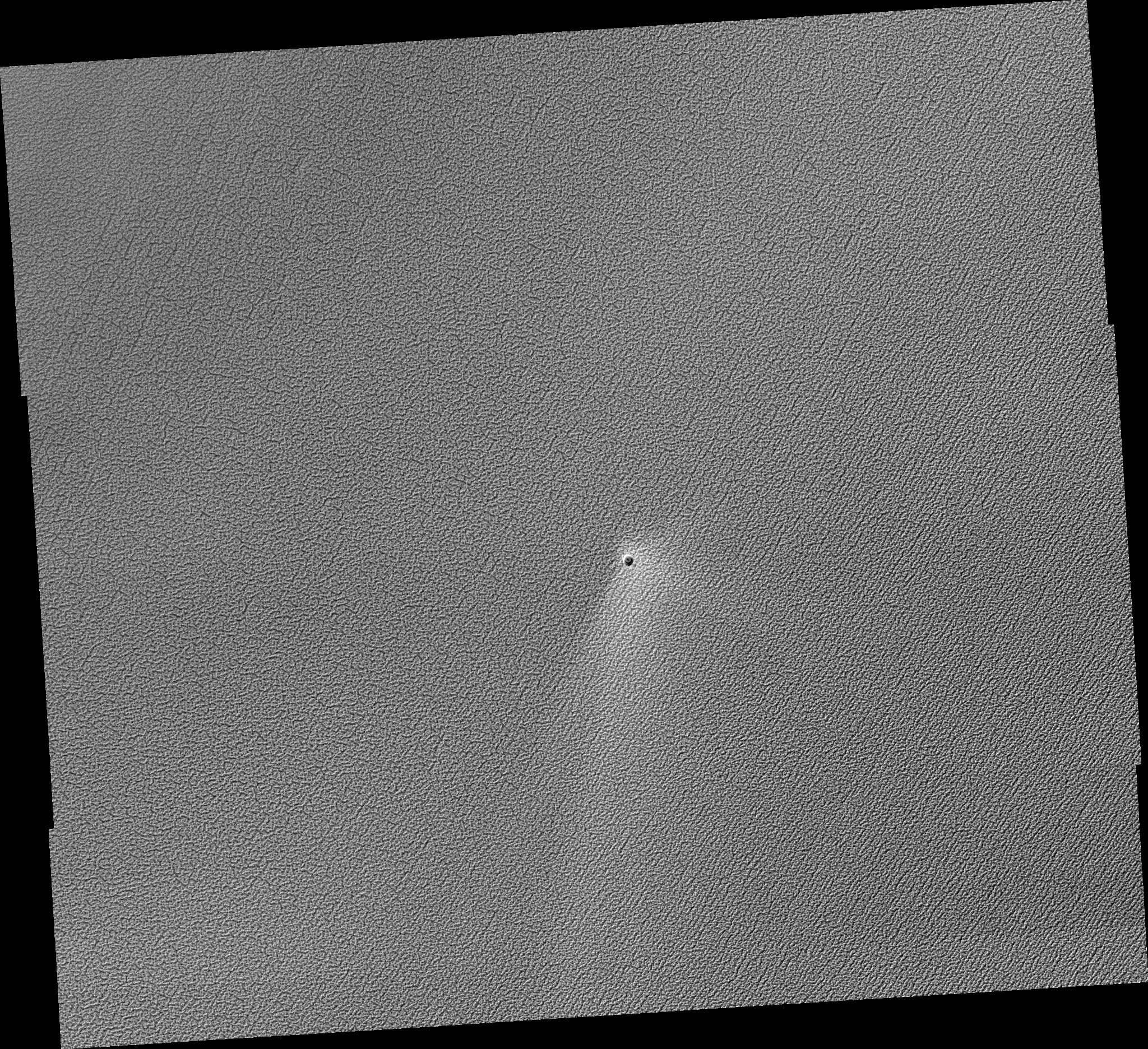
Map Projected Browse Image
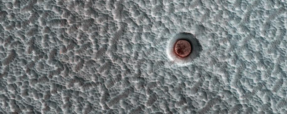
Click on image for larger versionMRO has been observing Mars for 6 Mars Years (MY), each of which lasts for 687 Earth days. Shown here is an impact crater on the north polar ice cap, which contains an icy deposit on the crater floor.
These inter-crater ice deposits shrink and expand or change shape or surface texture from year to year. In this animation, we can see the appearance of this crater fill in MY 29 (2/2008), 30 (8/2010), 31 (7/2012), 33 (2/2016), 34 (1/2018), and 35 (12/2019).
The map is projected here at a scale of 25 centimeters (9.8 inches) per pixel. (The original image scale is 31.7 centimeters [12.5 inches] per pixel [with 1 x 1 binning] to 63.4 centimeters [25.0 inches] per pixel [with 2 x 2 binning].) North is up.
The University of Arizona, in Tucson, operates HiRISE, which was built by Ball Aerospace & Technologies Corp., in Boulder, Colorado. NASA's Jet Propulsion Laboratory, a division of Caltech in Pasadena, California, manages the Mars Reconnaissance Orbiter Project for NASA's Science Mission Directorate, Washington.