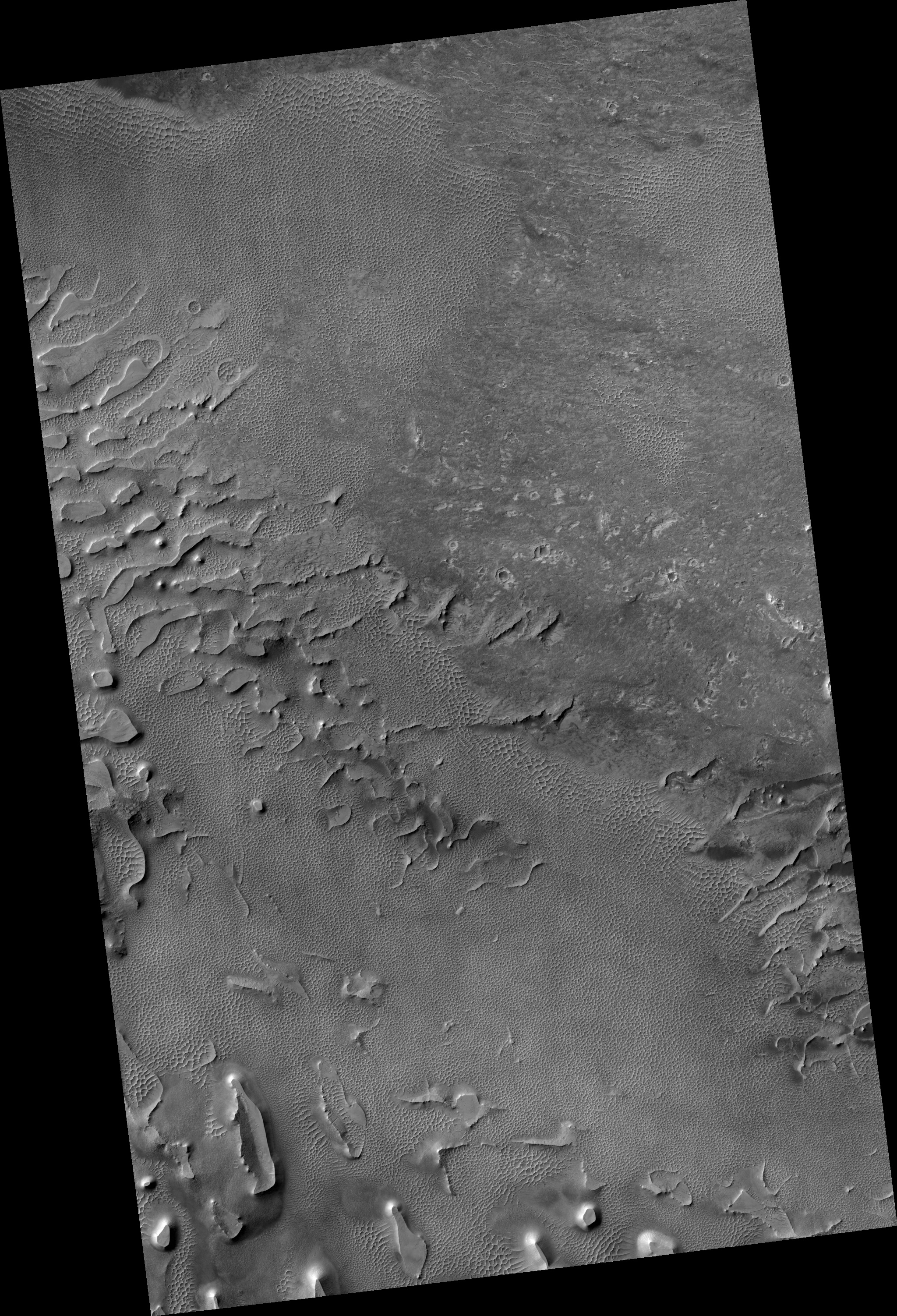
Map Projected Browse Image
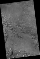
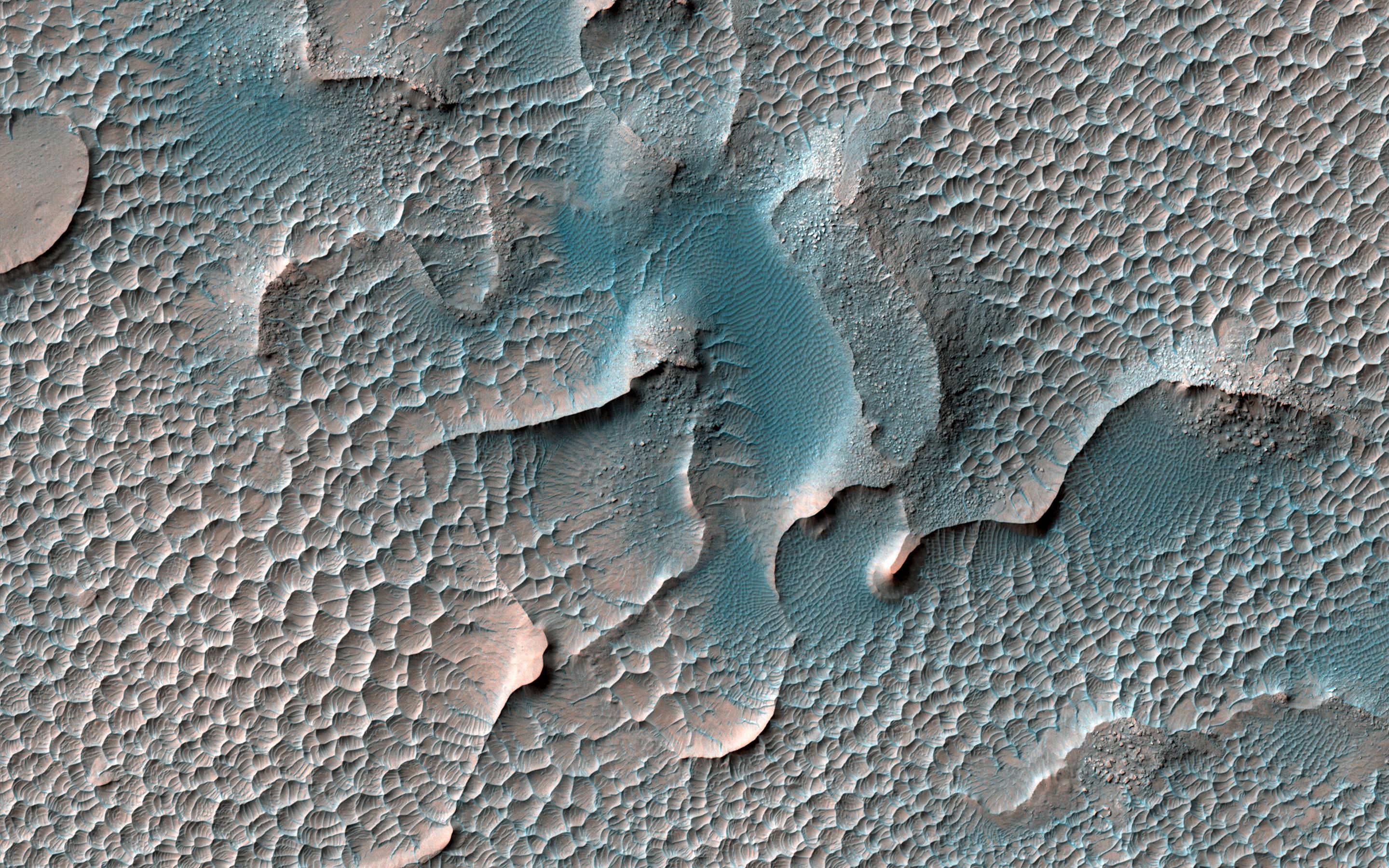
Click on image for larger versionSand dunes are found in many places on Mars. At most of these places the dunes are slowly moving, blown by the wind, just like on Earth. However, in this location in south Melas Chasma they appear to have turned to stone.
The large dunes are slowly being eroded and disappearing, replaced by smaller structures of scalloped sand.
The map is projected here at a scale of 25 centimeters (9.8 inches) per pixel. (The original image scale is 26.3 centimeters [10.4 inches] per pixel [with 1 x 1 binning]; objects on the order of 79 centimeters [31.1 inches] across are resolved.) North is up.
The University of Arizona, in Tucson, operates HiRISE, which was built by Ball Aerospace & Technologies Corp., in Boulder, Colorado. NASA's Jet Propulsion Laboratory, a division of Caltech in Pasadena, California, manages the Mars Reconnaissance Orbiter Project for NASA's Science Mission Directorate, Washington.


