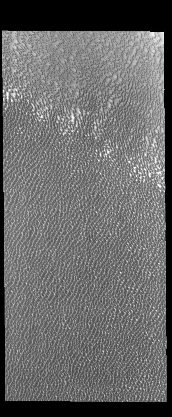
Context imageSiton Undae is a large dune field located in the northern plains near Escorial Crater. Siton Undae is west of the crater and is one of three dune fields near the crater. The other dune fields are Hyperboreae Undae and Aspledon Undae. The nearby north polar cap is dissected by Chasma Boreale, which exposes an ice free surface that may be a source of some of the sand. This image shows part of the margin of the dune field. In this image the crescent nature of the individual dunes can be see in the upper left portion of the image. As the dunes coalesce the crescent form is lost.
Orbit Number: 79215 Latitude: 74.469 Longitude: 294.617 Instrument: VIS Captured: 2019-10-23 21:33
Please see the THEMIS Data Citation Note for details on crediting THEMIS images.
NASA's Jet Propulsion Laboratory manages the 2001 Mars Odyssey mission for NASA's Science Mission Directorate, Washington, D.C. The Thermal Emission Imaging System (THEMIS) was developed by Arizona State University, Tempe, in collaboration with Raytheon Santa Barbara Remote Sensing. The THEMIS investigation is led by Dr. Philip Christensen at Arizona State University. Lockheed Martin Astronautics, Denver, is the prime contractor for the Odyssey project, and developed and built the orbiter. Mission operations are conducted jointly from Lockheed Martin and from JPL, a division of the California Institute of Technology in Pasadena.
