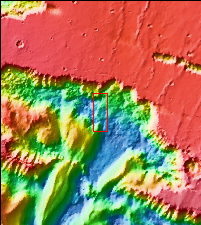
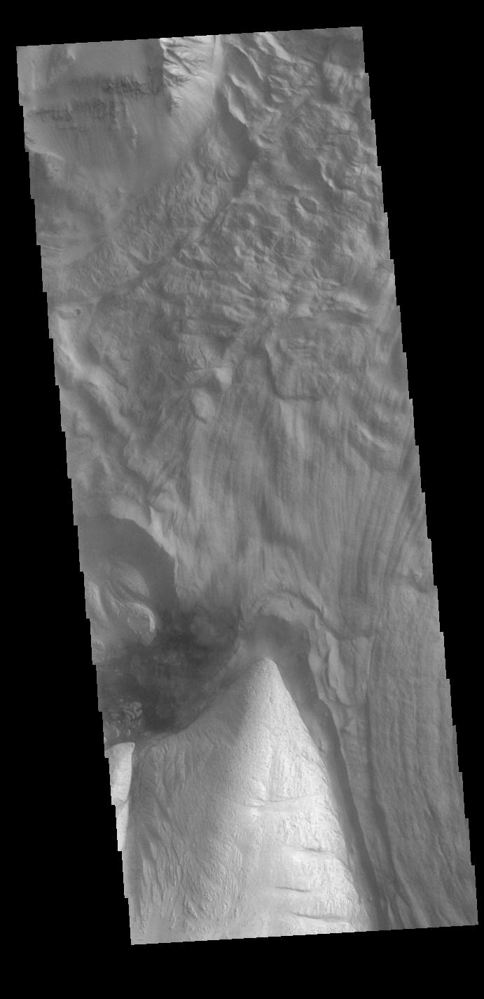
Context imageThis VIS image shows part of Ophir Chasma. Ophir Chasma is part of Valles Marineris, the largest canyon system on Mars. At the top of the image is a portion of a large landslide deposit which originate at the northern wall of the canyon. The bright toned part at the bottom of the image is the northern extent of Beatis Mensa, a large layered deposit within the canyon.
Orbit Number: 79116 Latitude: -3.66498 Longitude: 288.151 Instrument: VIS Captured: 2019-10-15 17:28
Please see the THEMIS Data Citation Note for details on crediting THEMIS images.
NASA's Jet Propulsion Laboratory manages the 2001 Mars Odyssey mission for NASA's Science Mission Directorate, Washington, D.C. The Thermal Emission Imaging System (THEMIS) was developed by Arizona State University, Tempe, in collaboration with Raytheon Santa Barbara Remote Sensing. The THEMIS investigation is led by Dr. Philip Christensen at Arizona State University. Lockheed Martin Astronautics, Denver, is the prime contractor for the Odyssey project, and developed and built the orbiter. Mission operations are conducted jointly from Lockheed Martin and from JPL, a division of the California Institute of Technology in Pasadena.