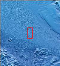
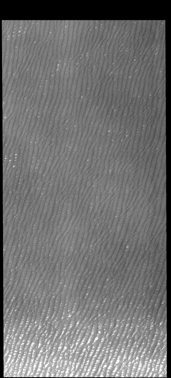
Context imageThis VIS image of Olympia Undae was collected at the very end of north polar spring. As the season changes into summertime, the dune crests have lost all the winter frosts completely revealing the darker sand beneath. The density of dunes and the alignments of the dune crests varies with location, controlled by the amount of available sand and the predominant winds over time.
Olympia Undae is a vast dune field in the north polar region of Mars. It consists of a broad sand sea or erg that partly rings the north polar cap from about 120° to 240°E longitude and 78° to 83°N latitude. The dune field covers an area of approximately 470,000 km2 (bigger than California, smaller than Texas). Olympia Undae is the largest continuous dune field on Mars. Olympia Undae is not the only dune field near the north polar cap, several other smaller fields exist in the same latitude, but in other ranges of longitude, e.g. Abolos and Siton Undae. Barchan and transverse dune forms are the most common. In regions with limited available sand individual barchan dunes will form, the surface beneath and between the dunes is visible. In regions with large sand supplies, the sand sheet covers the underlying surface, and dune forms are found modifying the surface of the sand sheet. In this case transverse dunes are more common. Barchan dunes "point" down wind, transverse dunes are more linear and form parallel to the wind direction. The "square" shaped transverse dunes in Olympia Undae are due to two prevailing wind directions.
Orbit Number: 78980 Latitude: 80.645 Longitude: 225.957 Instrument: VIS Captured: 2019-10-04 13:10
Please see the THEMIS Data Citation Note for details on crediting THEMIS images.
NASA's Jet Propulsion Laboratory manages the 2001 Mars Odyssey mission for NASA's Science Mission Directorate, Washington, D.C. The Thermal Emission Imaging System (THEMIS) was developed by Arizona State University, Tempe, in collaboration with Raytheon Santa Barbara Remote Sensing. The THEMIS investigation is led by Dr. Philip Christensen at Arizona State University. Lockheed Martin Astronautics, Denver, is the prime contractor for the Odyssey project, and developed and built the orbiter. Mission operations are conducted jointly from Lockheed Martin and from JPL, a division of the California Institute of Technology in Pasadena.
 Planetary Data System


