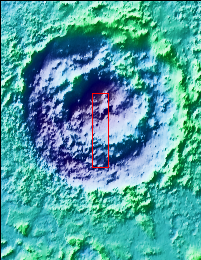
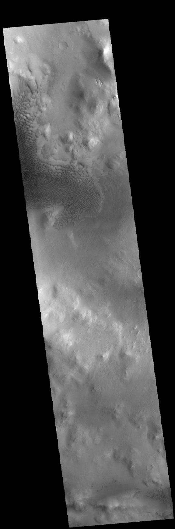
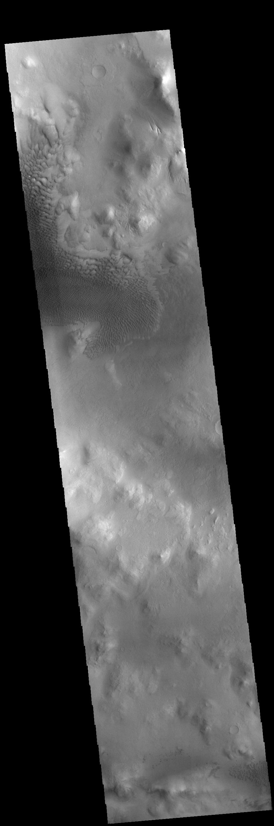
Context imageThis VIS image shows part of Lyot Crater, including a large field of sand dunes on the crater floor. Lyot Crater is located in Vastitas Borealis, part of the northern hemisphere lowlands. This complex crater is 236 km across (146 miles). Craters that contain two rings — one inside the other — are variously called peak ring craters or double ring basins. This morphology can develop in craters larger than 100 km across. This dunes in this image are found within the inner ring of the crater.
Orbit Number: 78950 Latitude: 49.8479 Longitude: 29.3102 Instrument: VIS Captured: 2019-10-02 01:42
Please see the THEMIS Data Citation Note for details on crediting THEMIS images.
NASA's Jet Propulsion Laboratory manages the 2001 Mars Odyssey mission for NASA's Science Mission Directorate, Washington, D.C. The Thermal Emission Imaging System (THEMIS) was developed by Arizona State University, Tempe, in collaboration with Raytheon Santa Barbara Remote Sensing. The THEMIS investigation is led by Dr. Philip Christensen at Arizona State University. Lockheed Martin Astronautics, Denver, is the prime contractor for the Odyssey project, and developed and built the orbiter. Mission operations are conducted jointly from Lockheed Martin and from JPL, a division of the California Institute of Technology in Pasadena.


