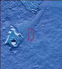
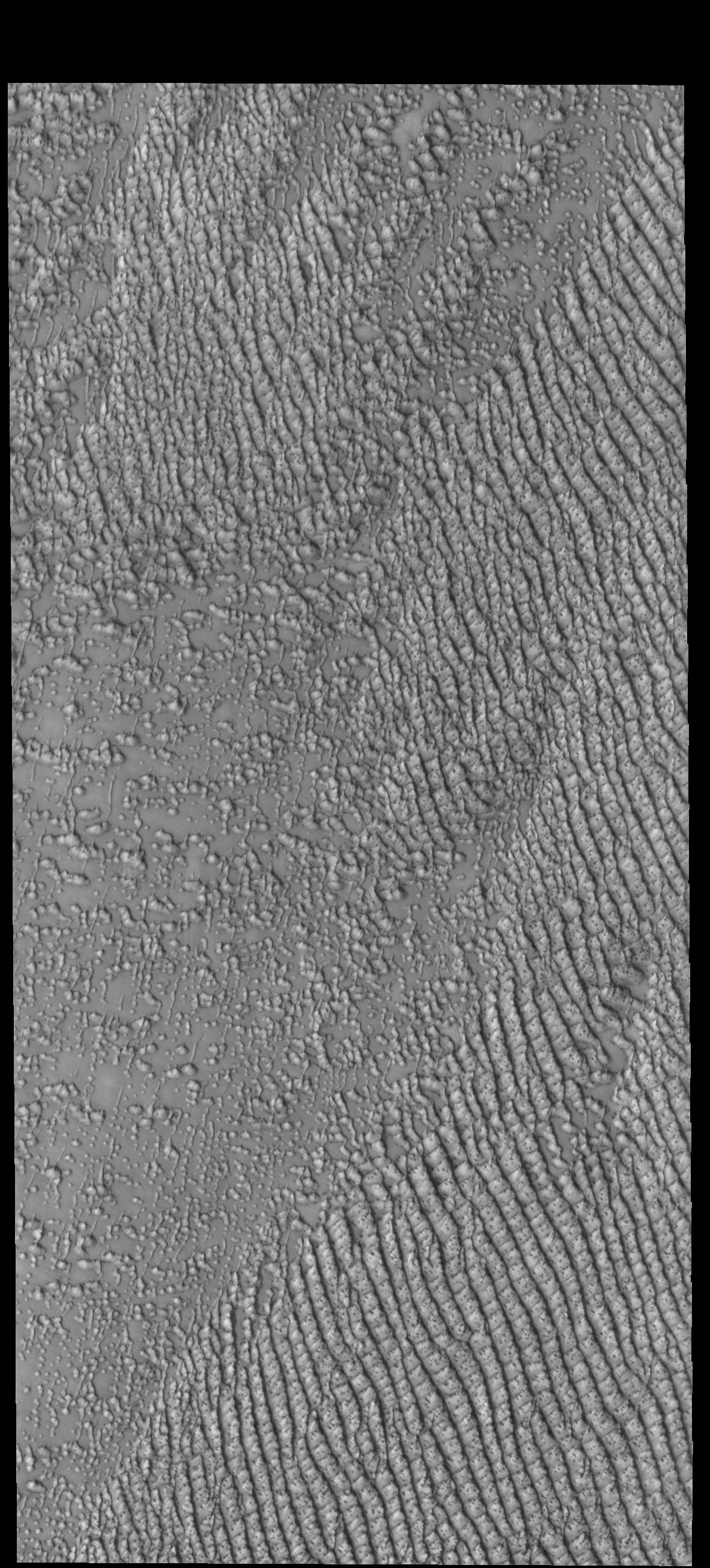
Context imageSeveral dune fields encircle the north polar cap. Hyperboreae Undae is one of them, located near Escorial Crater and Chasma Boreale. This VIS image was taken during the spring season, when the dunes still have some frost cover.
Orbit Number: 77742 Latitude: 77.7492 Longitude: 309.689 Instrument: VIS Captured: 2019-06-24 14:29
Please see the THEMIS Data Citation Note for details on crediting THEMIS images.
NASA's Jet Propulsion Laboratory manages the 2001 Mars Odyssey mission for NASA's Science Mission Directorate, Washington, D.C. The Thermal Emission Imaging System (THEMIS) was developed by Arizona State University, Tempe, in collaboration with Raytheon Santa Barbara Remote Sensing. The THEMIS investigation is led by Dr. Philip Christensen at Arizona State University. Lockheed Martin Astronautics, Denver, is the prime contractor for the Odyssey project, and developed and built the orbiter. Mission operations are conducted jointly from Lockheed Martin and from JPL, a division of the California Institute of Technology in Pasadena.
