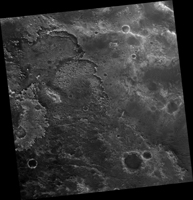
Map Projected Browse Image
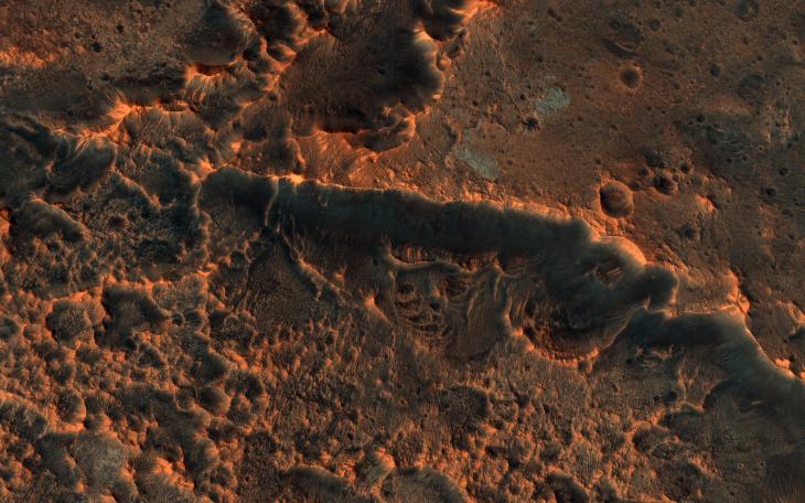
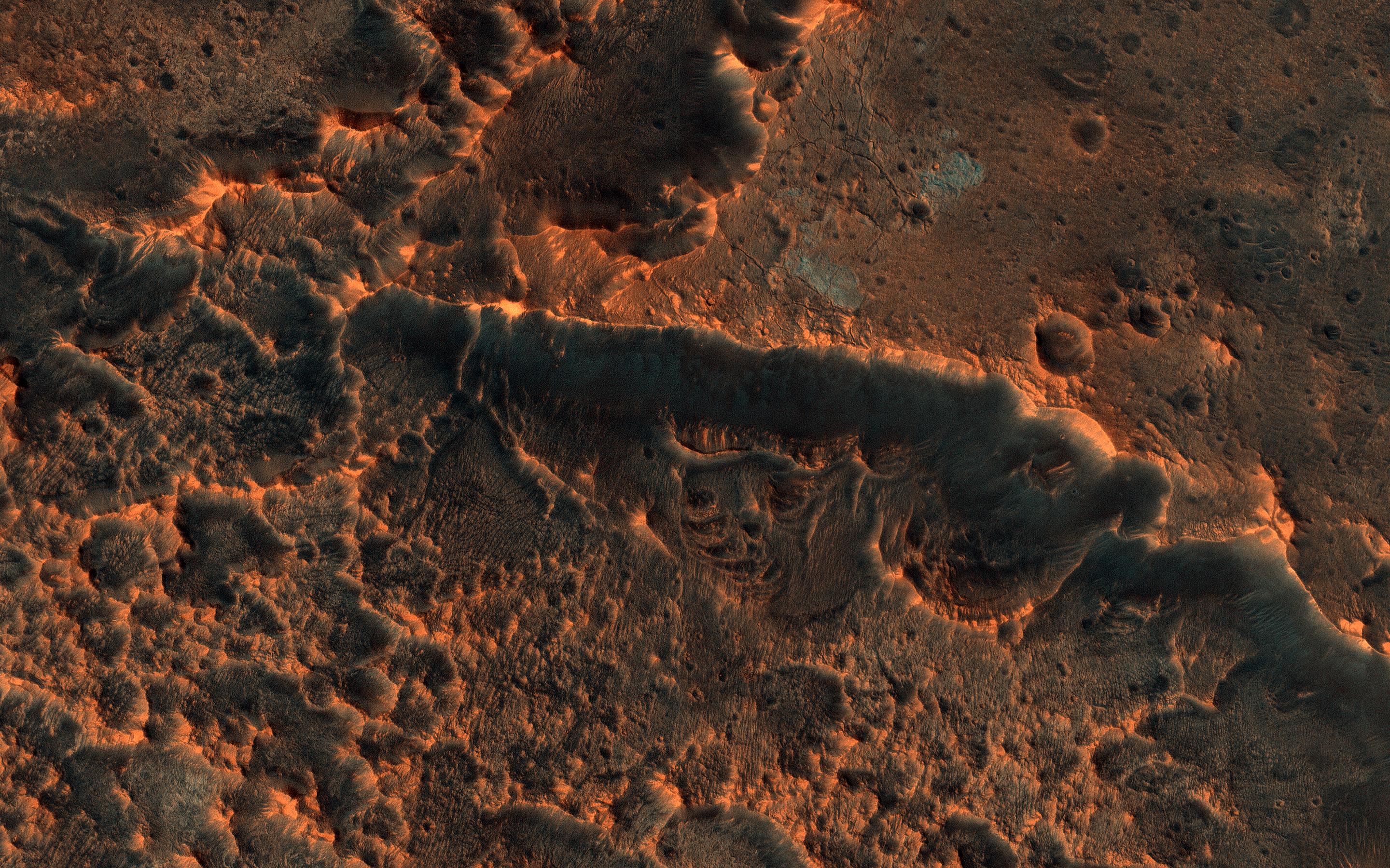
Click on image for larger versionHiRISE commonly takes images of recent craters on Mars, which are usually found by the MRO Context Camera where they disturb surface dust. An impact site in this area was first imaged in December 2017.
A year and a half later, the scene looks totally different! Dust has eroded from the surface, probably due to the planet-encircling dust storm from 2018. The dark spots around the fresh craters have vanished because they only affected the dust that has since disappeared. See if you can find the craters in the new image by comparing with the old one.
The map is projected here at a scale of 25 centimeters (9.8 inches) per pixel. (The original image scale is 29.4 centimeters [11.6 inches] per pixel [with 1 x 1 binning]; objects on the order of 88 centimeters [34.7 inches] across are resolved.) North is up.
The University of Arizona, in Tucson, operates HiRISE, which was built by Ball Aerospace & Technologies Corp., in Boulder, Colorado. NASA's Jet Propulsion Laboratory, a division of Caltech in Pasadena, California, manages the Mars Reconnaissance Orbiter Project for NASA's Science Mission Directorate, Washington.
