Map Projected Browse Image
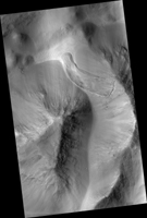
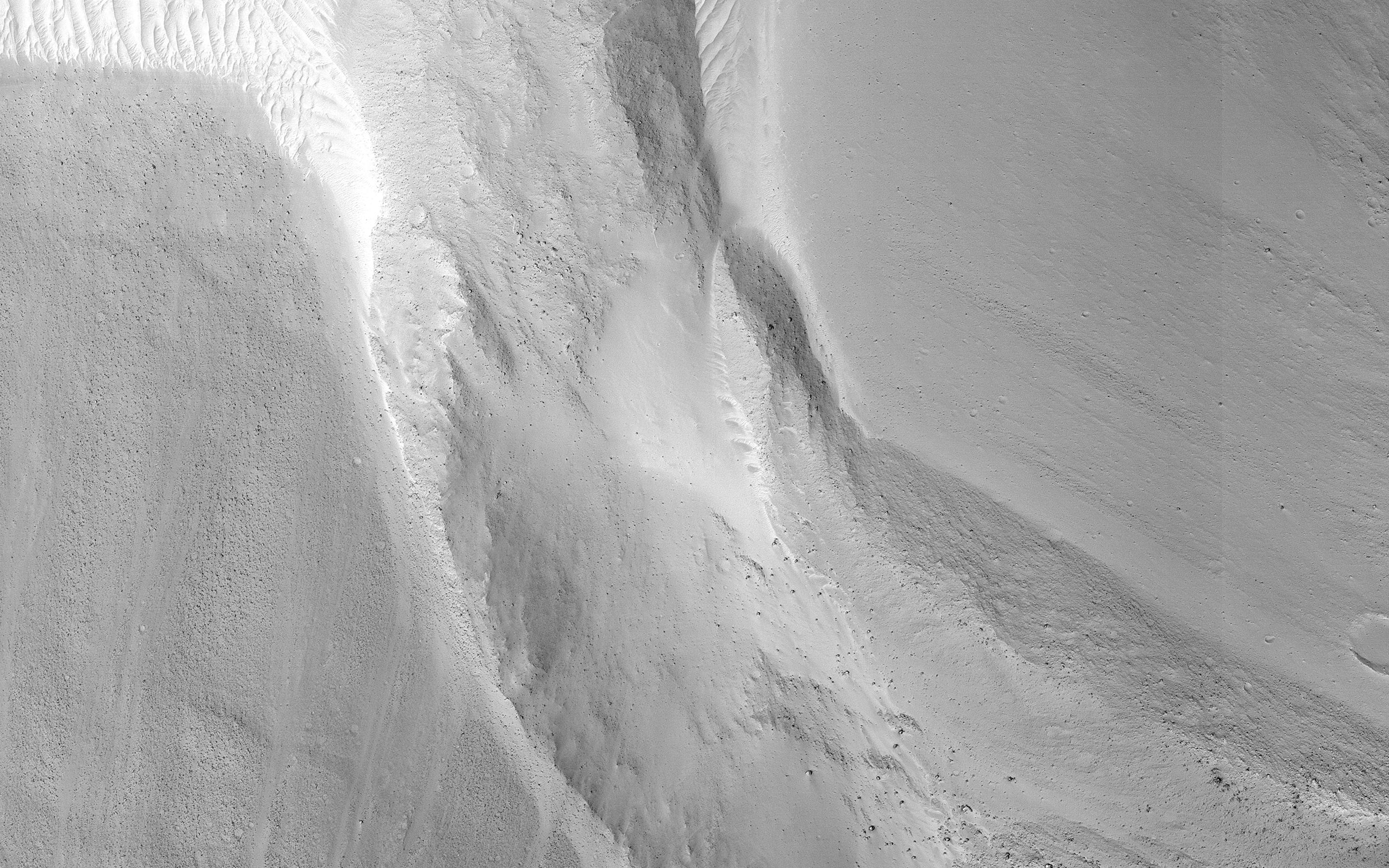
Click on image for larger versionThis image shows a small landslide in Iani Chaos. Landslides are common on Mars where there are steep slopes, including this area where there are numerous mounds and hills.
What is unusual about this landslide is that it carved a path downslope as it moved, similar to a snow plow pushing away snow as it moves forward. This image is part of a stereo pair so that scientists will examine the landslide in 3D to understand its formation mechanism.
The map is projected here at a scale of 25 centimeters (9.8 inches) per pixel. (The original image scale is 27.3 centimeters [10.7 inches] per pixel [with 1 x 1 binning]; objects on the order of 82 centimeters [32.3 inches] across are resolved.) North is up.
This is a stereo pair with ESP_058894_1800.
The University of Arizona, in Tucson, operates HiRISE, which was built by Ball Aerospace & Technologies Corp., in Boulder, Colorado. NASA's Jet Propulsion Laboratory, a division of Caltech in Pasadena, California, manages the Mars Reconnaissance Orbiter Project for NASA's Science Mission Directorate, Washington.


