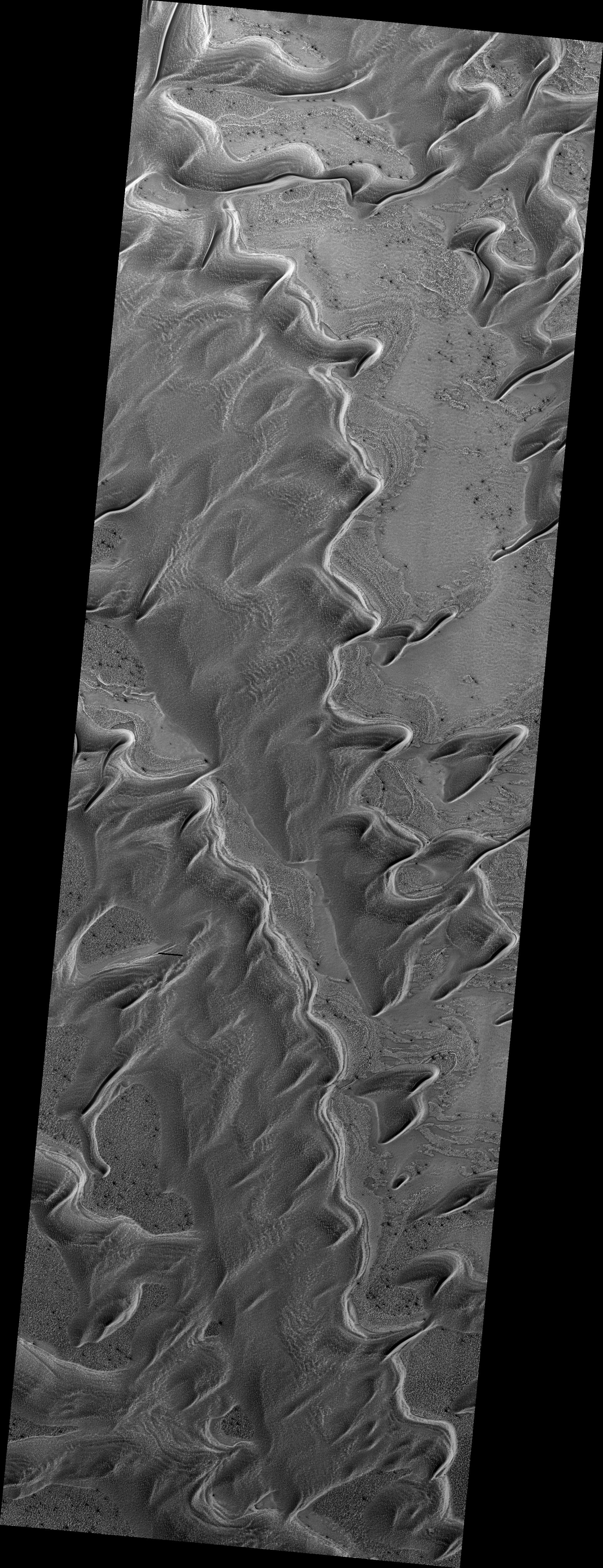
Map Projected Browse Image
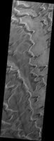
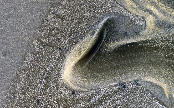
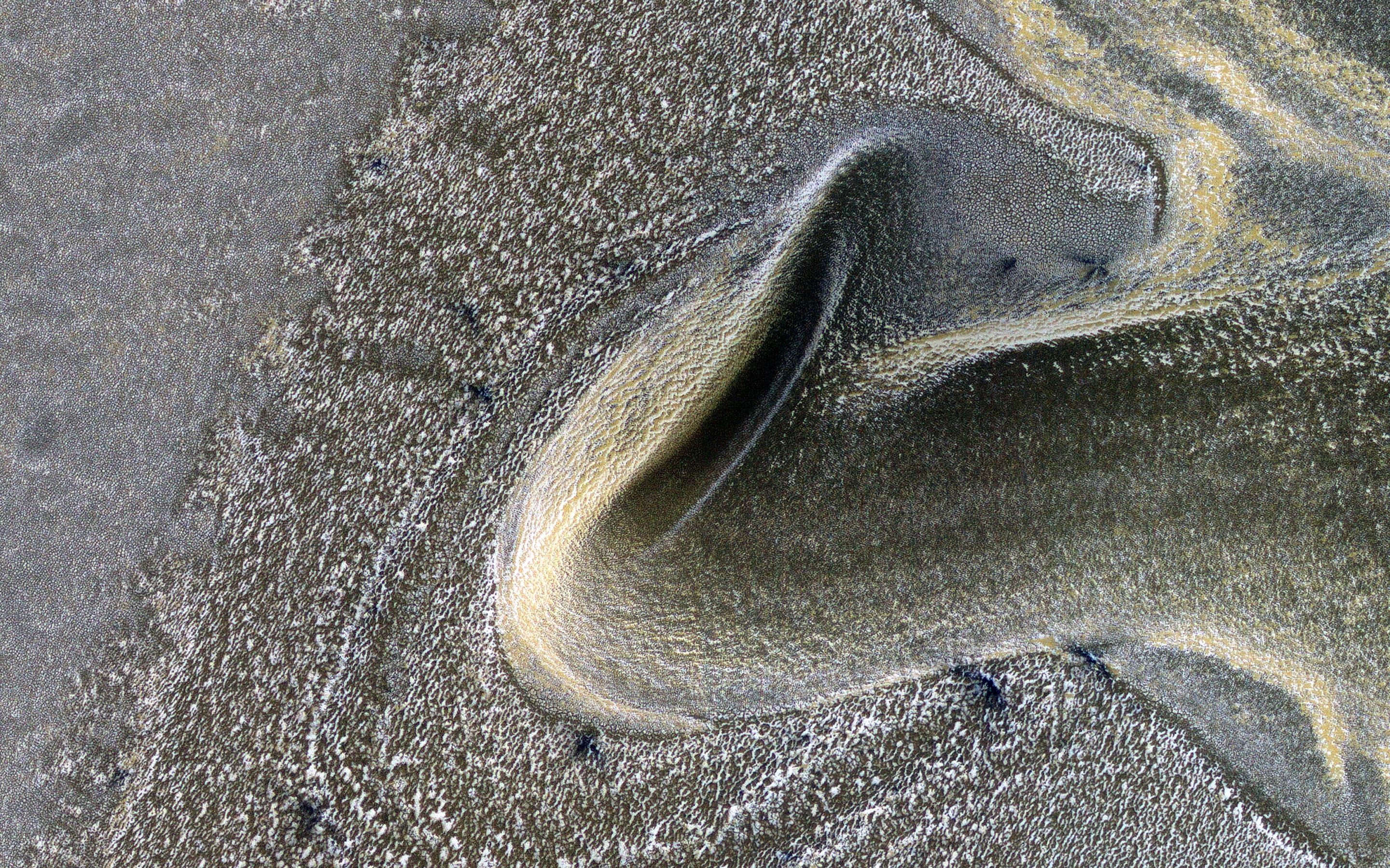
Click on image for larger versionThis is the first of a new monitoring series to track seasonal processes. It is also a striking image with late winter angled illumination over dunes covered by carbon dioxide frost mixed with dust.
Dark spots may be where sand is exposed from very early defrosting activity. The incidence angle is 87 degrees, or just 3 degrees above the horizon.
The map is projected here at a scale of 50 centimeters (19.7 inches) per pixel. (The original image scale is 64.2 centimeters [25.3 inches] per pixel [with 2 x 2 binning]; objects on the order of 192 centimeters [75.6 inches] across are resolved.) North is up.
The University of Arizona, in Tucson, operates HiRISE, which was built by Ball Aerospace & Technologies Corp., in Boulder, Colorado. NASA's Jet Propulsion Laboratory, a division of Caltech in Pasadena, California, manages the Mars Reconnaissance Orbiter Project for NASA's Science Mission Directorate, Washington.