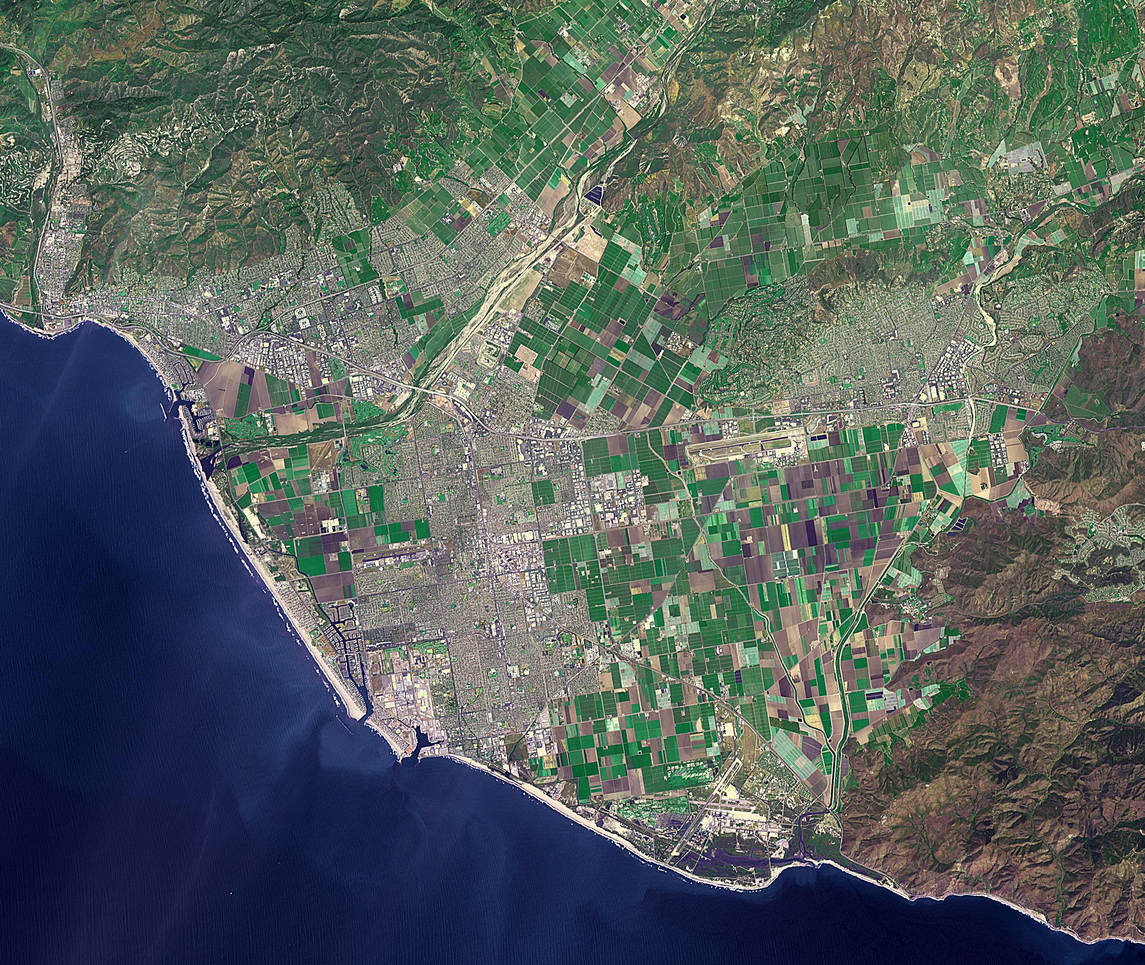
Ventura, California has a coastal site, set against hills and flanked by two rivers. Archaeologists have found remnants of human settlements dating back 10,000 years. When the Spaniards arrived at the end of the 18th century, they found the Chumash people and the Shisholop Village (Wikipedia). In 1782 Junipero Serra founded Mission San Buenaventura. Rich agricultural lands and the more recent discovery of oil led to economic growth. In late 2017, the Thomas Fire spread through the downtown and nearby communities, eventually burning over 270,000 acres. The image was acquired April 27, 2016, covers an area of 28.8 by 34.1 kilometers, and is located at 34.2 degrees north, 119.1 degrees west.
With its 14 spectral bands from the visible to the thermal infrared wavelength region and its high spatial resolution of about 50 to 300 feet (15 to 90 meters), ASTER images Earth to map and monitor the changing surface of our planet. ASTER is one of five Earth-observing instruments launched Dec. 18, 1999, on Terra. The instrument was built by Japan's Ministry of Economy, Trade and Industry. A joint U.S./Japan science team is responsible for validation and calibration of the instrument and data products.
The broad spectral coverage and high spectral resolution of ASTER provides scientists in numerous disciplines with critical information for surface mapping and monitoring of dynamic conditions and temporal change. Example applications are monitoring glacial advances and retreats; monitoring potentially active volcanoes; identifying crop stress; determining cloud morphology and physical properties; wetlands evaluation; thermal pollution monitoring; coral reef degradation; surface temperature mapping of soils and geology; and measuring surface heat balance.
The U.S. science team is located at NASA's Jet Propulsion Laboratory in Pasadena, Calif. The Terra mission is part of NASA's Science Mission Directorate, Washington.
More information about ASTER is available at http://asterweb.jpl.nasa.gov/.
