
Map Projected Browse Image
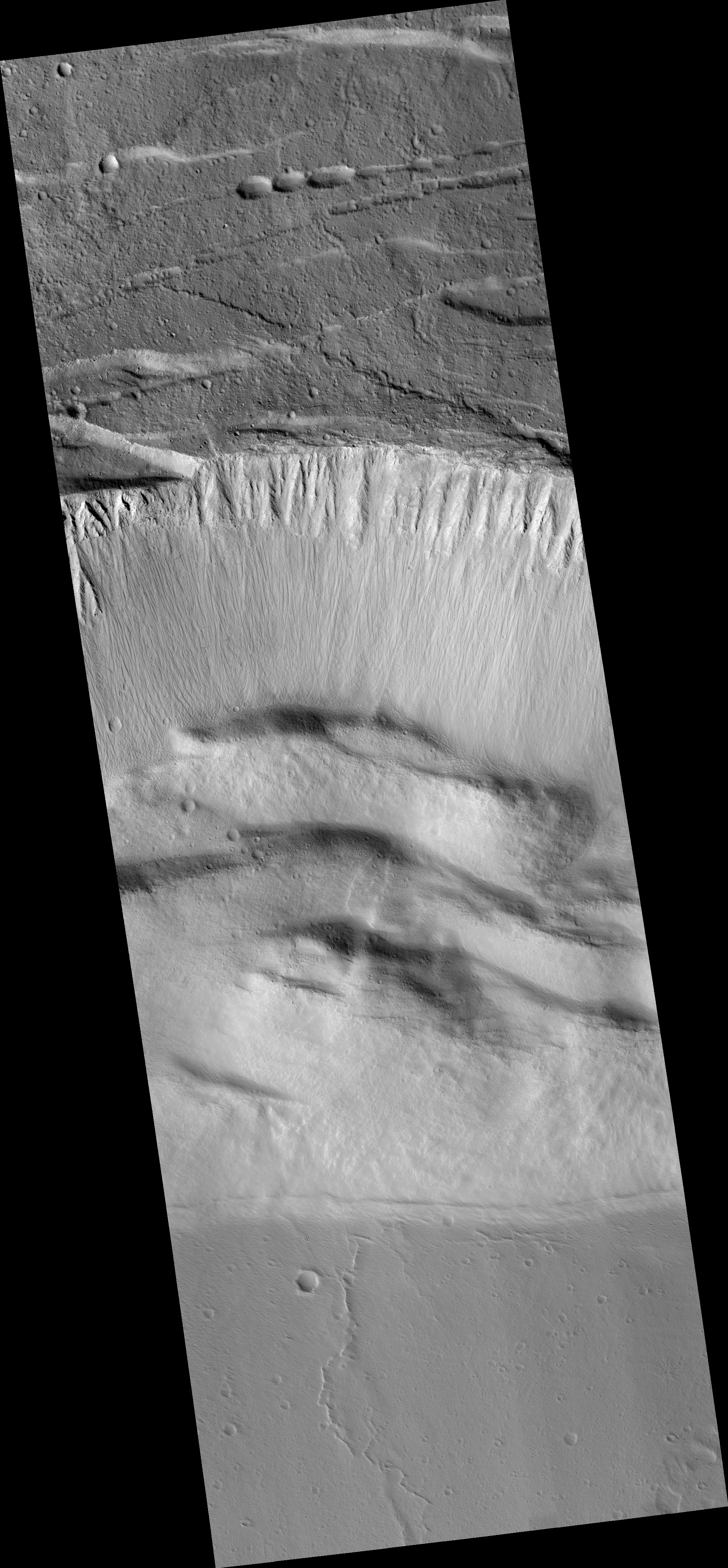
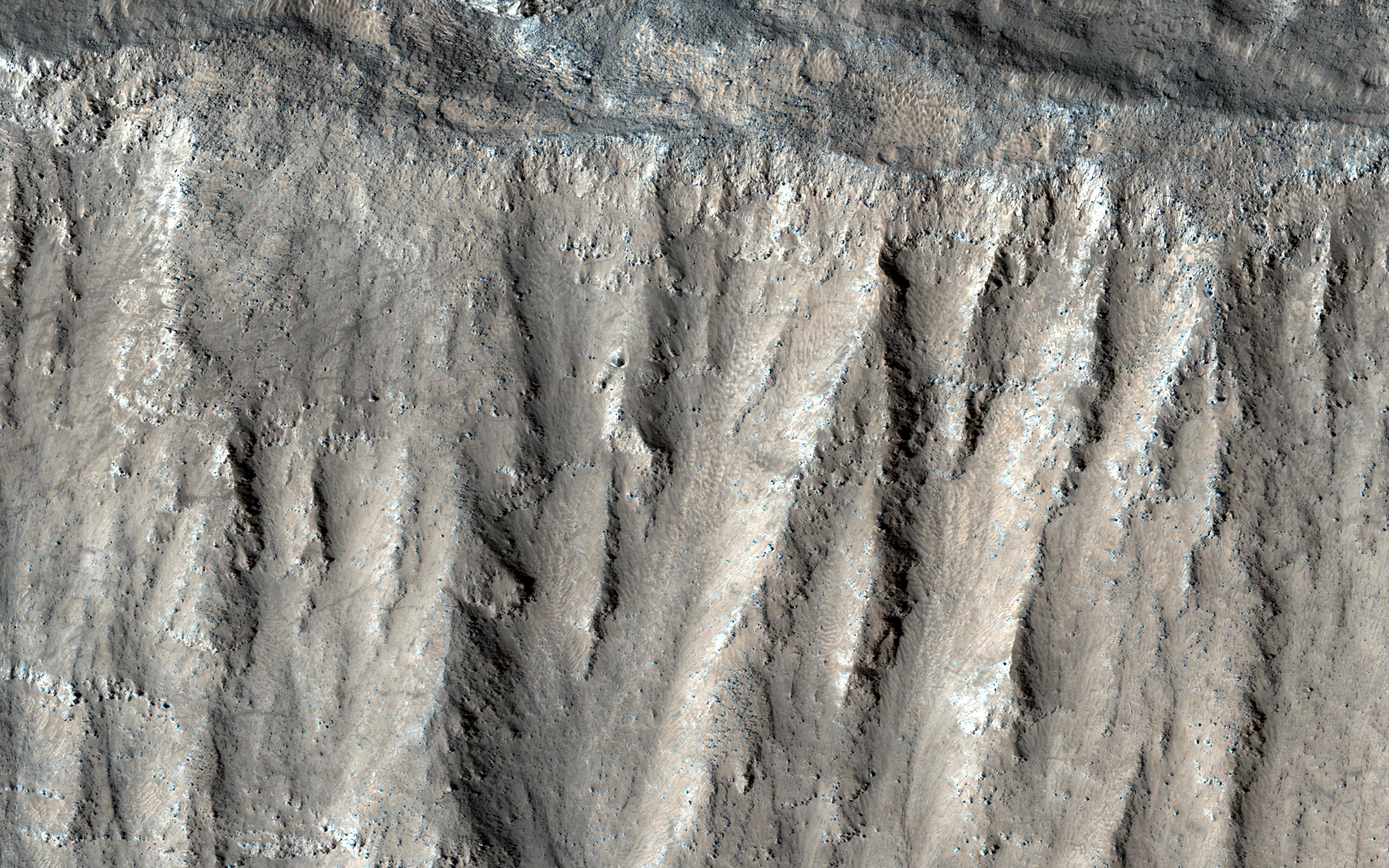
Click on image for larger versionThis image shows part of the steep wall of the caldera (a large volcanic crater) at the top of Ascraeus Mons, one of Mars' giant volcanoes.
We can see chutes carved into the soft dust that has built up on the slope, with some similarities to gully landforms elsewhere on the planet.
The map is projected here at a scale of 25 centimeters (9.8 inches) per pixel. [The original image scale is 25.7 centimeters (10.1 inches) per pixel (with 1 x 1 binning); objects on the order of 77 centimeters (30.3 inches) across are resolved.] North is up.
The University of Arizona, Tucson, operates HiRISE, which was built by Ball Aerospace & Technologies Corp., Boulder, Colorado. NASA's Jet Propulsion Laboratory, a division of Caltech in Pasadena, California, manages the Mars Reconnaissance Orbiter Project for NASA's Science Mission Directorate, Washington.


