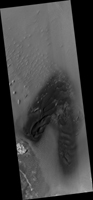
Map Projected Browse Image
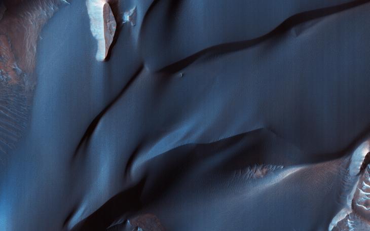
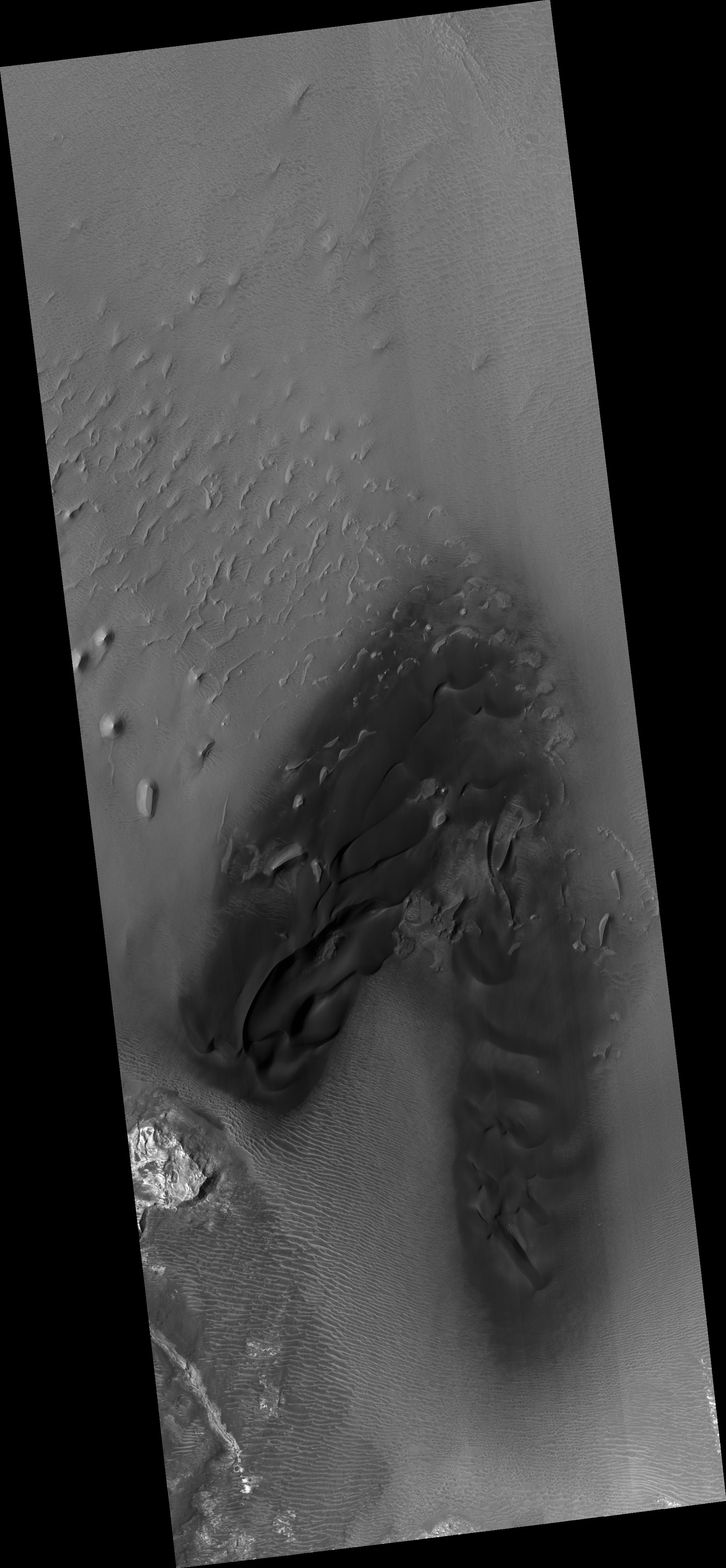
Click on image for larger versionThis color-infrared image shows sand dunes in Melas Chasma, located within the Valles Marineris canyon system. The dark-blue and purple colors indicate coarse-grained sands that are comprised of basalt, an iron and magnesium-rich volcanic rock that formed from cooled lava millions of years ago when volcanism was an active process on Mars.
Migrating sand dunes often lead to the erosion and excavation of underlying material; regions where there are active dune fields are ideal places to search for exposed bedrock. Repeated imaging of dunes may also show changes that provide evidence for active surface processes related to wind patterns and climate.
The map is projected here at a scale of 25 centimeters (9.8 inches) per pixel. [The original image scale is 26.5 centimeters (10.4 inches) per pixel (with 1 x 1 binning); objects on the order of 79 centimeters (31.1 inches) across are resolved.] North is up.
The University of Arizona, Tucson, operates HiRISE, which was built by Ball Aerospace & Technologies Corp., Boulder, Colorado. NASA's Jet Propulsion Laboratory, a division of Caltech in Pasadena, California, manages the Mars Reconnaissance Orbiter Project for NASA's Science Mission Directorate, Washington.