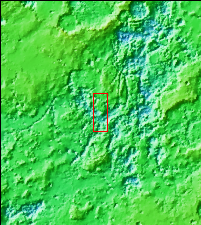
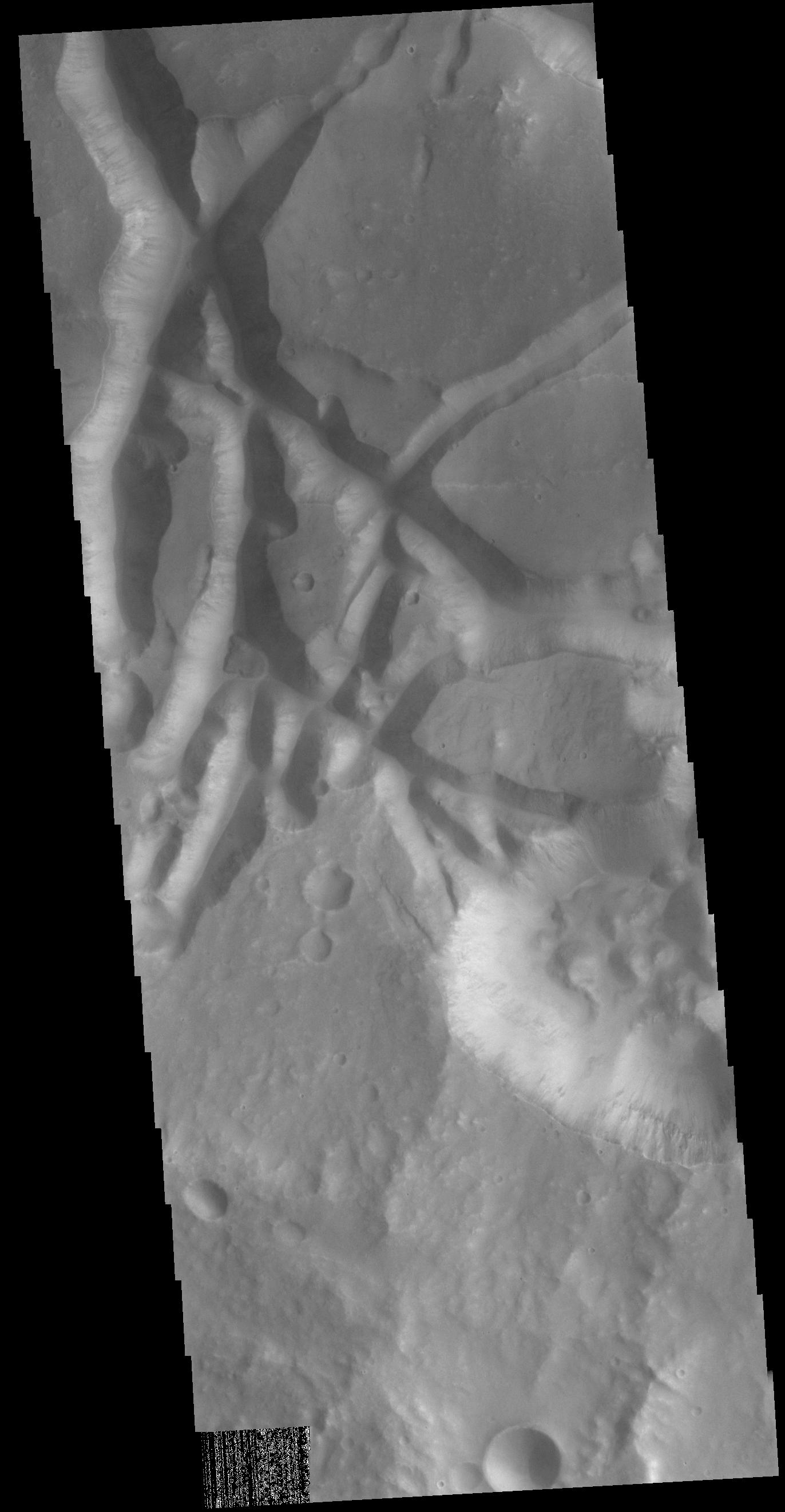
Context imageIn this VIS image the surface region is being dissected by linear valleys. As the dissection continues individual mesas will develop, creating the terrain called chaos. The linear nature of the valleys is most likely due to tectonic fractures. In this region of Aram Chaos the mesas are still large, with time the mesa edges will continue to erode and the mesas will become smaller and further from each other. [Data is missing from the lower left-hand portion of the image.]
Orbit Number: 72315 Latitude: 0.732378 Longitude: 337.835 Instrument: VIS Captured: 2018-04-03 14:31
Please see the THEMIS Data Citation Note for details on crediting THEMIS images.
NASA's Jet Propulsion Laboratory manages the 2001 Mars Odyssey mission for NASA's Science Mission Directorate, Washington, D.C. The Thermal Emission Imaging System (THEMIS) was developed by Arizona State University, Tempe, in collaboration with Raytheon Santa Barbara Remote Sensing. The THEMIS investigation is led by Dr. Philip Christensen at Arizona State University. Lockheed Martin Astronautics, Denver, is the prime contractor for the Odyssey project, and developed and built the orbiter. Mission operations are conducted jointly from Lockheed Martin and from JPL, a division of the California Institute of Technology in Pasadena.
