- Original Caption Released with Image:
-

Anaglyph
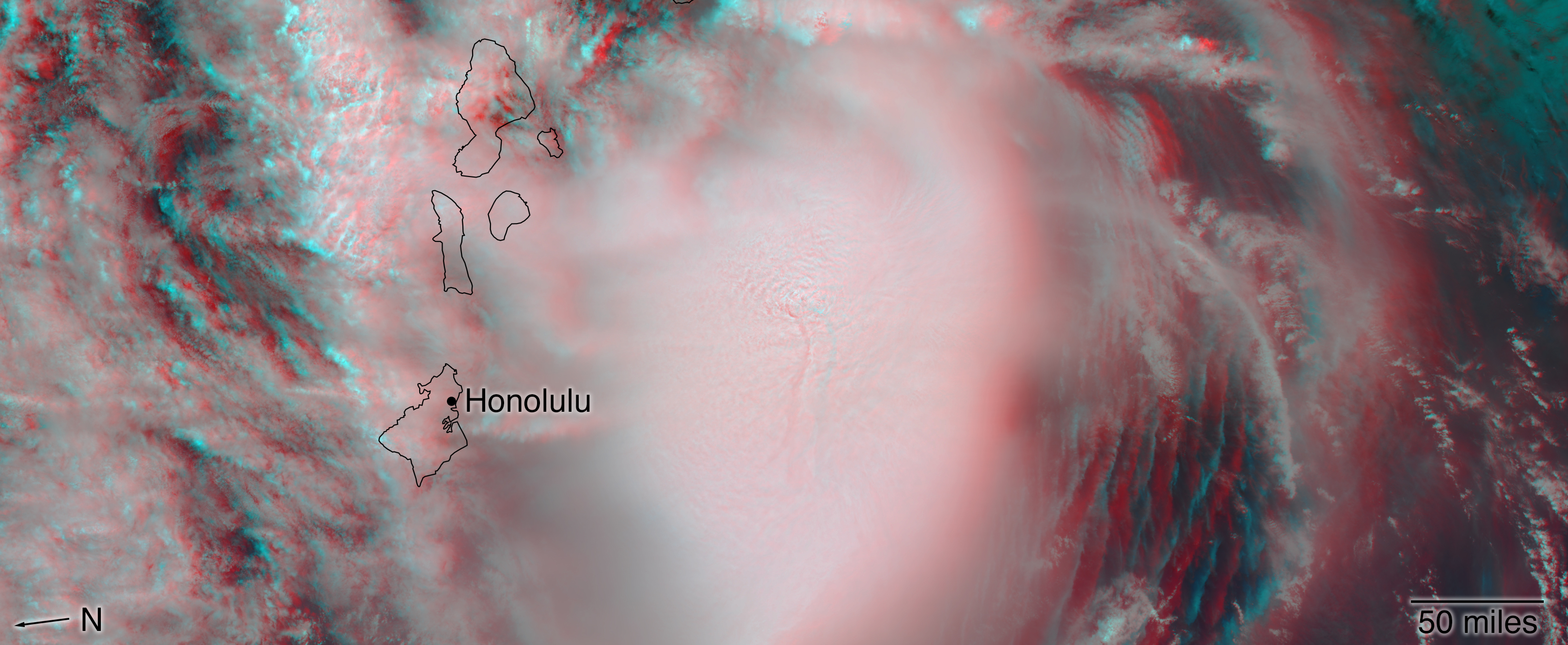
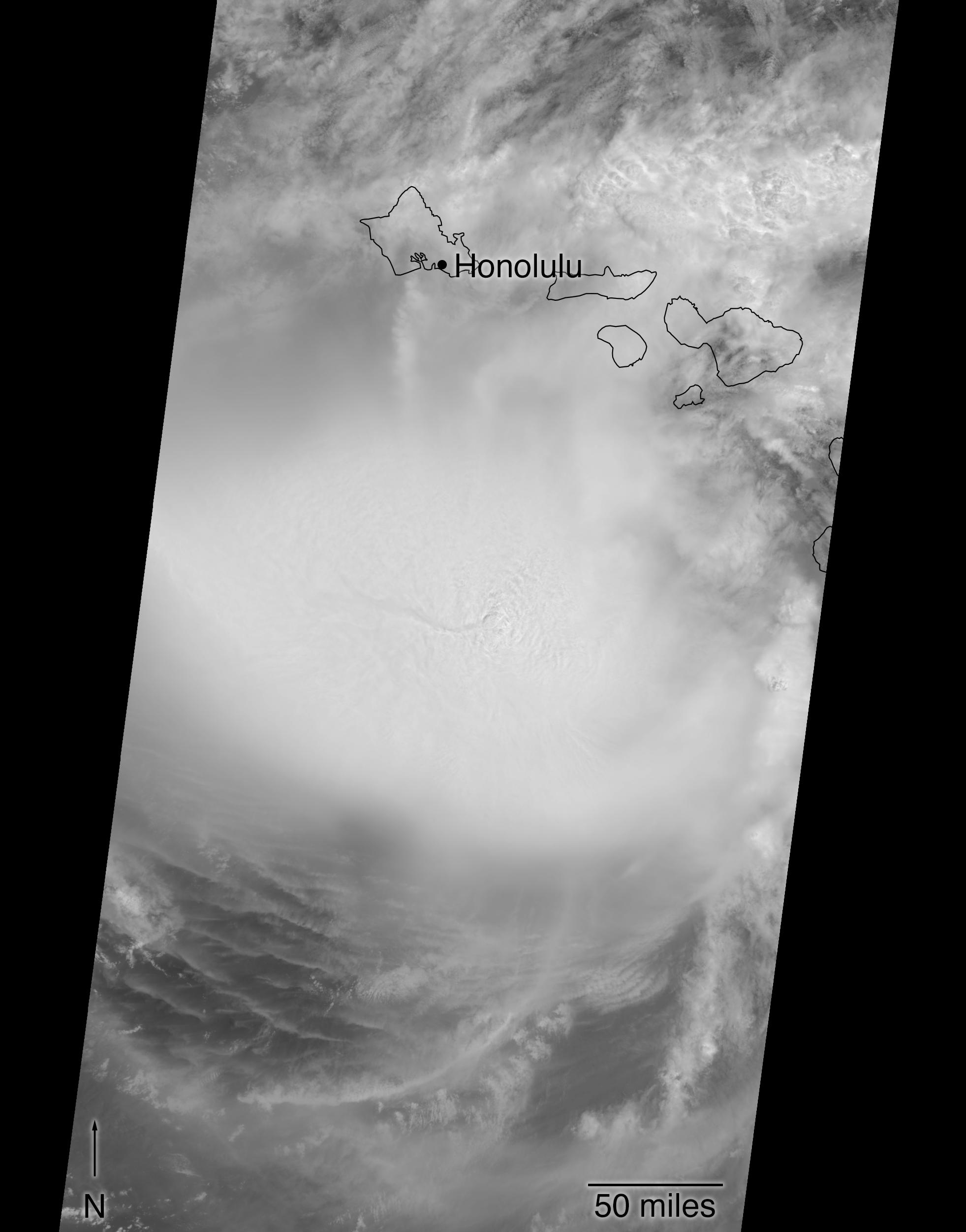
Click on the image for larger versionThis image shows Hurricane Lane as viewed by NASA's Multi-angle Imaging SpectroRadiometer (MISR) central, downward-looking camera. These data were captured during Terra orbit 99382. MISR data are available through the NASA Langley Research Center; for more information, go to https://eosweb.larc.nasa.gov/project/misr/misr_table. MISR was built and is managed by NASA's Jet Propulsion Laboratory in Pasadena, California, for NASA's Science Mission Directorate in Washington, D.C. The Terra spacecraft is managed by NASA's Goddard Space Flight Center in Greenbelt, Maryland. The MISR data were obtained from the NASA Langley Research Center Atmospheric Science Data Center in Hampton, Virginia. JPL is a division of Caltech in Pasadena.
- Image Credit:
-
NASA/GSFC/LaRC/JPL-Caltech, MISR Team
Image Addition Date: -
2018-08-25
|
