Map Projected Browse Image
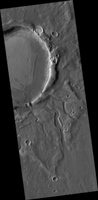
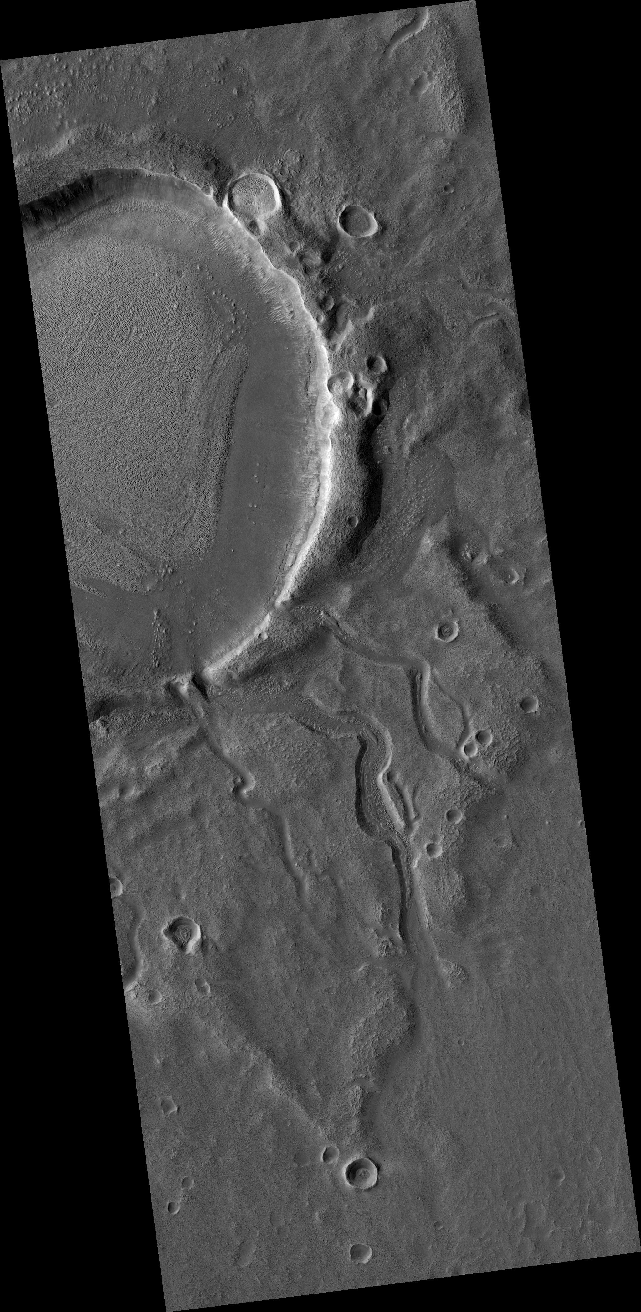
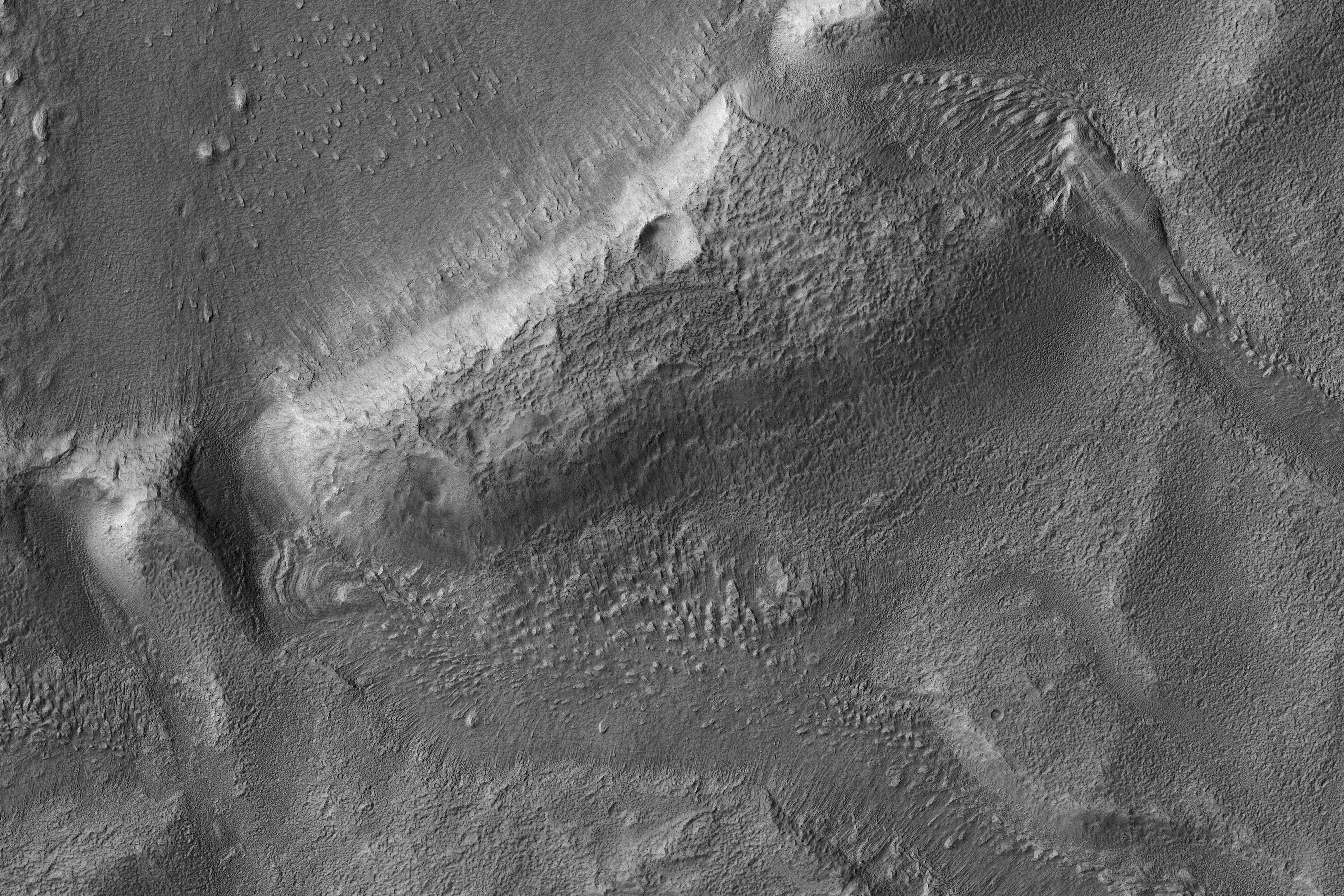
Click on the image for larger versionThis image from NASA's Mars Reconnaissance Orbiter shows a roundish crater with three channels breaching the rim and extending to the south. The crater has been filled by sediments and may have been an ancient lake.
When the water began to overtop the crater rim, it would rapidly erode a channel and, at least, partially drain the lake.
Be sure to look at the stereo anaglyph.
The map is projected here at a scale of 50 centimeters (19.7 inches) per pixel. [The original image scale is 60.3 centimeters (23.7 inches) per pixel (with 2 x 2 binning); objects on the order of 181 centimeters (71.3 inches) across are resolved.] North is up.
The University of Arizona, Tucson, operates HiRISE, which was built by Ball Aerospace & Technologies Corp., Boulder, Colorado. NASA's Jet Propulsion Laboratory, a division of Caltech in Pasadena, California, manages the Mars Reconnaissance Orbiter Project for NASA's Science Mission Directorate, Washington.
