Map Projected Browse Image
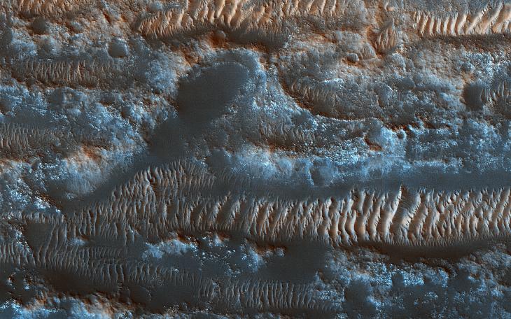
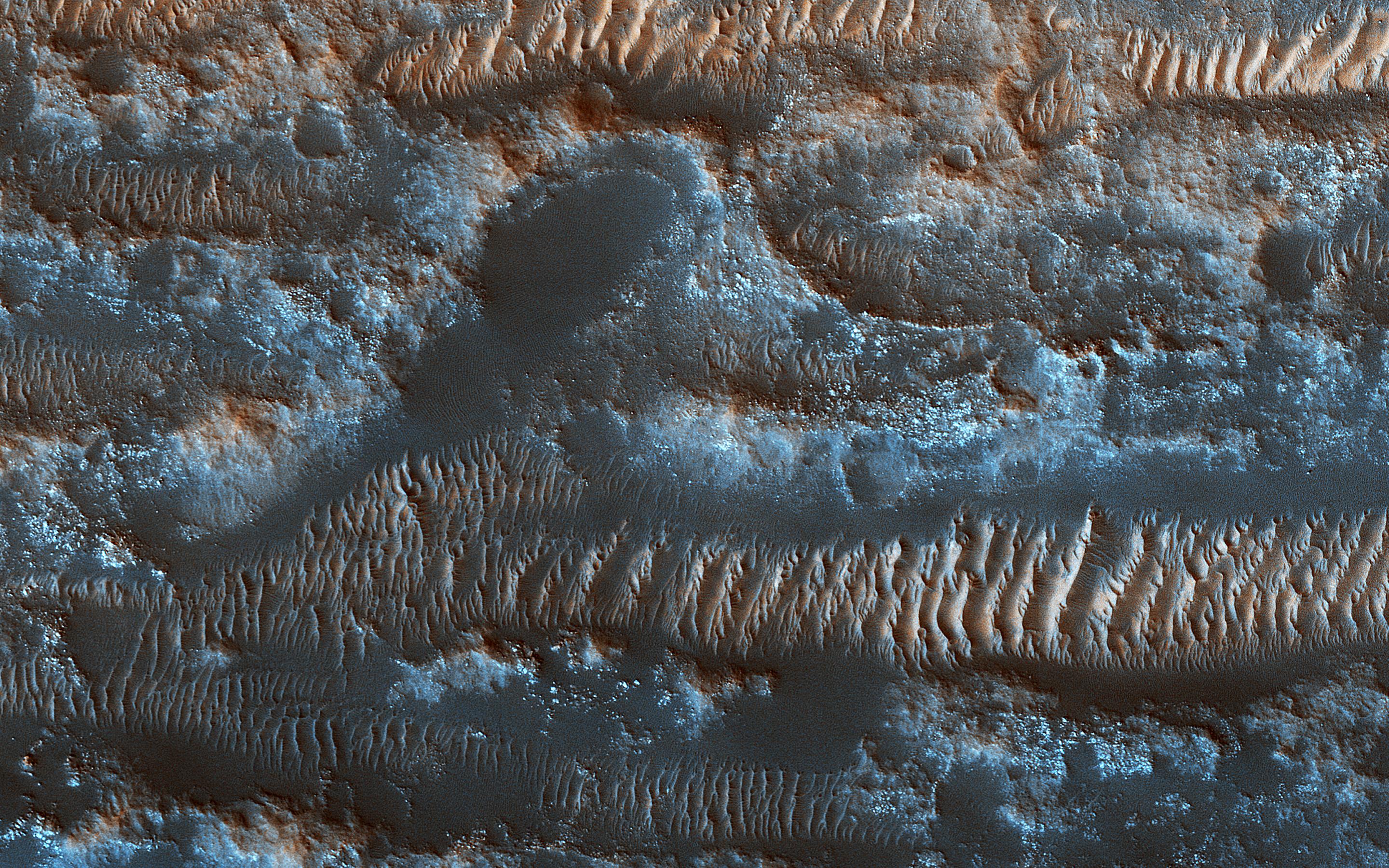
Click on the image for larger versionNASA's Mars Reconnaissance Orbiter shows bright ripples line the topography in this region, formed within a past climate. Dark dunes and sand streaks (composed of basaltic sand) have moved and filled lower areas, pushed by more recent winds from the top towards the bottom of this image.
Lobo Vallis is named for a river on the Ivory Coast.
The map is projected here at a scale of 50 centimeters (19.7 inches) per pixel. [The original image scale is 57.7 centimeters (22.6 inches) per pixel (with 2 x 2 binning); objects on the order of 173 centimeters (68.1 inches) across are resolved.] North is up.
The University of Arizona, Tucson, operates HiRISE, which was built by Ball Aerospace & Technologies Corp., Boulder, Colorado. NASA's Jet Propulsion Laboratory, a division of Caltech in Pasadena, California, manages the Mars Reconnaissance Orbiter Project for NASA's Science Mission Directorate, Washington.


