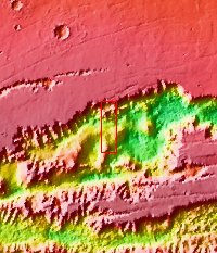
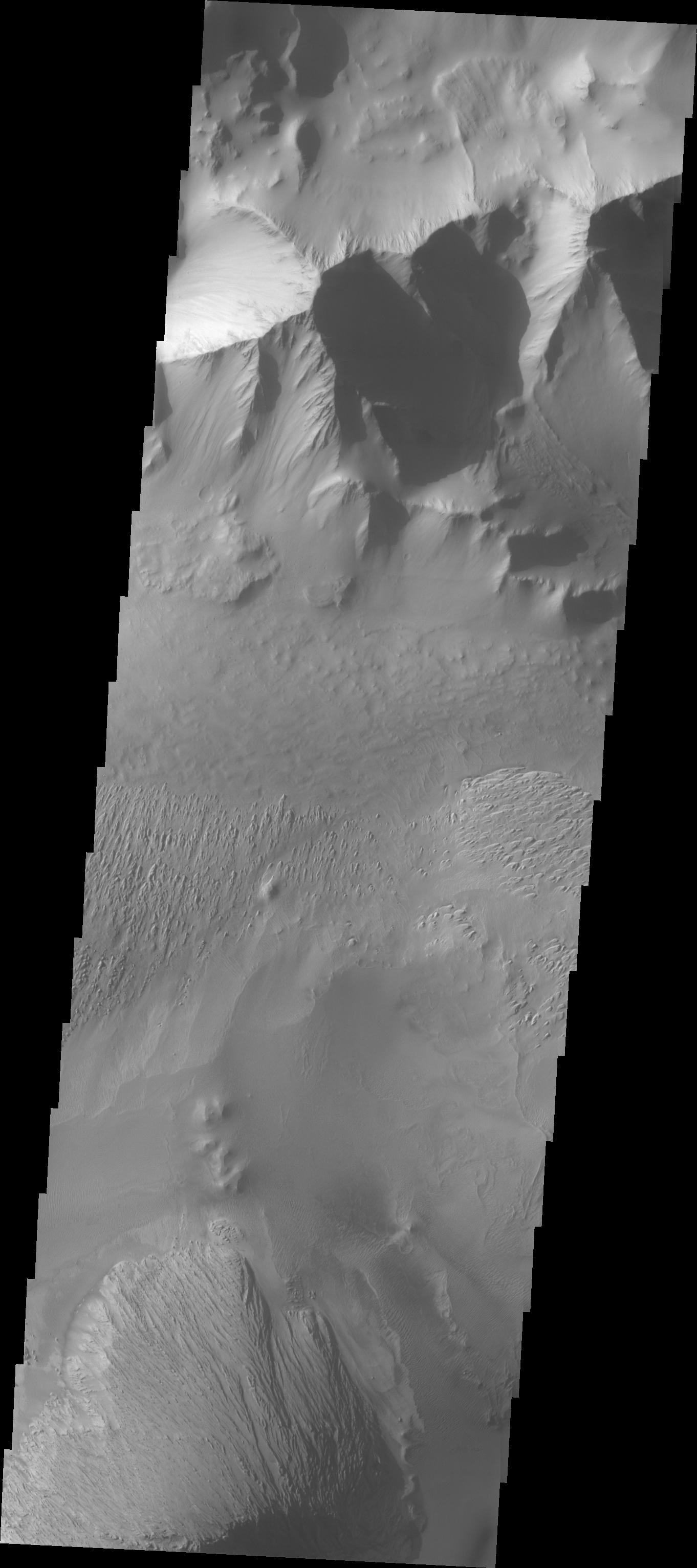
Context image This VIS image shows part of Tithonium Chasma. The ridge visible at the top of the image is not the top of the canyon. The top of the canyon is off the image to the north. A lobate "tongue" visible between the ridge and the top of the canyon is the deposit left by a landslide event. This material is more resistant and forms the ridges extending down the canyon walls. Eroded materials cover much of the canyon floor. The initial formation of layered floor desposits was possibly created of air fall of dust, sand, and volcanic materials and water lain materials. The weathering of these deposits is probably by the wind. Loose sand and dust can be seen in other portions of this image.
Tithonium Chasma is at the western end of Valles Marineris. Valles Marineris is over 4000 kilometers long, wider than the United States. Tithonium Chasma is almost 810 kilometers long (499 miles), 50 kilometers wide and over 6 kilometers deep. In comparison, the Grand Canyon in Arizona is about 175 kilometers long, 30 kilometers wide, and only 2 kilometers deep. The canyons of Valles Marineris were formed by extensive fracturing and pulling apart of the crust during the uplift of the vast Tharsis plateau. Landslides have enlarged the canyon walls and created deposits on the canyon floor. Weathering of the surface and influx of dust and sand have modified the canyon floor, both creating and modifying layered materials.
The Odyssey spacecraft has spent over 15 years in orbit around Mars, circling the planet more than 71,000 times. It holds the record for longest working spacecraft at Mars. THEMIS, the IR/VIS camera system, has collected data for the entire mission and provides images covering all seasons and lighting conditions. Over the years many features of interest have received repeated imaging, building up a suite of images covering the entire feature. From the deepest chasma to the tallest volcano, individual dunes inside craters and dune fields that encircle the north pole, channels carved by water and lava, and a variety of other feature, THEMIS has imaged them all. For the next several months the image of the day will focus on the Tharsis volcanoes, the various chasmata of Valles Marineris, and the major dunes fields. We hope you enjoy these images!
Orbit Number: 3212 Latitude: -4.46108 Longitude: 271.004 Instrument: VIS Captured: 2002-09-04 22:56
Please see the THEMIS Data Citation Note for details on crediting THEMIS images.
NASA's Jet Propulsion Laboratory manages the 2001 Mars Odyssey mission for NASA's Science Mission Directorate, Washington, D.C. The Thermal Emission Imaging System (THEMIS) was developed by Arizona State University, Tempe, in collaboration with Raytheon Santa Barbara Remote Sensing. The THEMIS investigation is led by Dr. Philip Christensen at Arizona State University. Lockheed Martin Astronautics, Denver, is the prime contractor for the Odyssey project, and developed and built the orbiter. Mission operations are conducted jointly from Lockheed Martin and from JPL, a division of the California Institute of Technology in Pasadena.
 Planetary Data System


