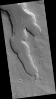
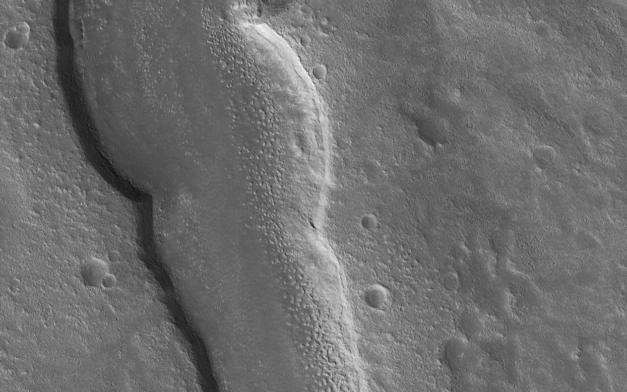
Map Projected Browse Image
Click on the image for larger versionThe goal of this observation from NASA's Mars Reconnaissance Orbiter (MRO) is to determine the source of the ridge within a possible moraine that is also present in another HiRISE image. A moraine is a mass of rocks and sediment carried down and deposited by a glacier.
If the structure is a moraine, we should expect to find two sources of debris converging in the valley. If the sources are carrying lots of debris, there is a good chance of finding more moraine features further up the valley.
The map is projected here at a scale of 50 centimeters (19.7 inches) per pixel. [The original image scale is 59.5 centimeters (23.4 inches) per pixel (with 2 x 2 binning); objects on the order of 179 centimeters (70.5 inches) across are resolved.] North is up.
The University of Arizona, Tucson, operates HiRISE, which was built by Ball Aerospace & Technologies Corp., Boulder, Colorado. NASA's Jet Propulsion Laboratory, a division of Caltech in Pasadena, California, manages the Mars Reconnaissance Orbiter Project for NASA's Science Mission Directorate, Washington.
