PDS logoPlanetary Data System
PDS Information
Find a Node - Use these links to navigate to any of the 8 publicly accessible PDS Nodes.

This bar indicates that you are within the PDS enterprise which includes 6 science discipline nodes and 2 support nodes which are overseen by the Project Management Office at NASA's Goddard Space Flight Center (GSFC). Each node is led by an expert in the subject discipline, supported by an advisory group of other practitioners of that discipline, and subject to selection and approval under a regular NASA Research Announcement.
Click here to return to the Photojournal Home Page Click here to view a list of Photojournal Image Galleries Photojournal_inner_header
Latest Images  |  Spacecraft & Technology  |  Animations  |  Space Images App  |  Feedback  |  Photojournal Search  

PIA21896: Impact Site: Infrared Image
 Target Name:  Saturn
 Is a satellite of:  Sol (our sun)
 Mission:  Cassini-Huygens
 Spacecraft:  Cassini Orbiter
 Instrument:  Visual and Infrared Mapping Spectrometer
 Product Size:  1000 x 550 pixels (w x h)
 Produced By:  University of Arizona
 Full-Res TIFF:  PIA21896.tif (486.5 kB)
 Full-Res JPEG:  PIA21896.jpg (25.44 kB)

Click on image above for all movie download options

Original Caption Released with Image:

click here for figure 1 for PIA21896click here for animation for PIA21896
Figure 1Animation
Click on images for full resolution

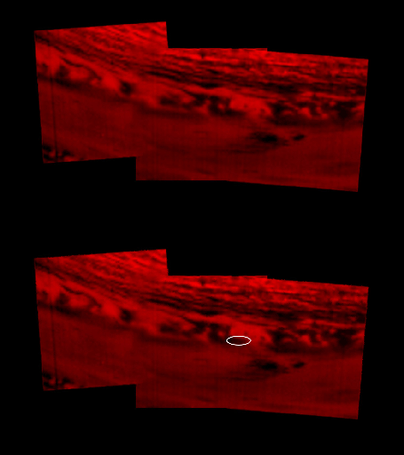
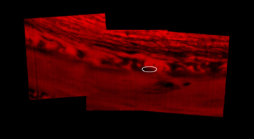
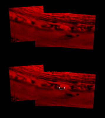
This montage of images, made from data obtained by Cassini's visual and infrared mapping spectrometer, shows the location on Saturn where the NASA spacecraft entered Saturn's atmosphere on Sept. 15, 2017.

This view shows Saturn in the thermal infrared, at a wavelength of 5 microns. Here, the instrument is sensing heat coming from Saturn's interior, in red. Clouds in the atmosphere are silhouetted against that inner glow.

This location -- the site of Cassini's atmospheric entry -- was at this time on the night side of the planet, but would rotate into daylight by the time Cassini made its final dive into Saturn's upper atmosphere, ending its remarkable 13-year exploration of Saturn.

An annotated version of the image marks the approximate location where the spacecraft entered the atmosphere, at 9.4 degrees north latitude, 53 degrees west longitude.

The Cassini-Huygens mission is a cooperative project of NASA, the European Space Agency and the Italian Space Agency. JPL manages the mission for NASA's Science Mission Directorate, Washington. The VIMS team is based at the University of Arizona in Tucson.

For more information about the Cassini-Huygens mission visit https://www.nasa.gov/cassini and https://saturn.jpl.nasa.gov.

Image Credit:
NASA/JPL-Caltech/University of Arizona

Image Addition Date:
2017-09-15