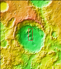
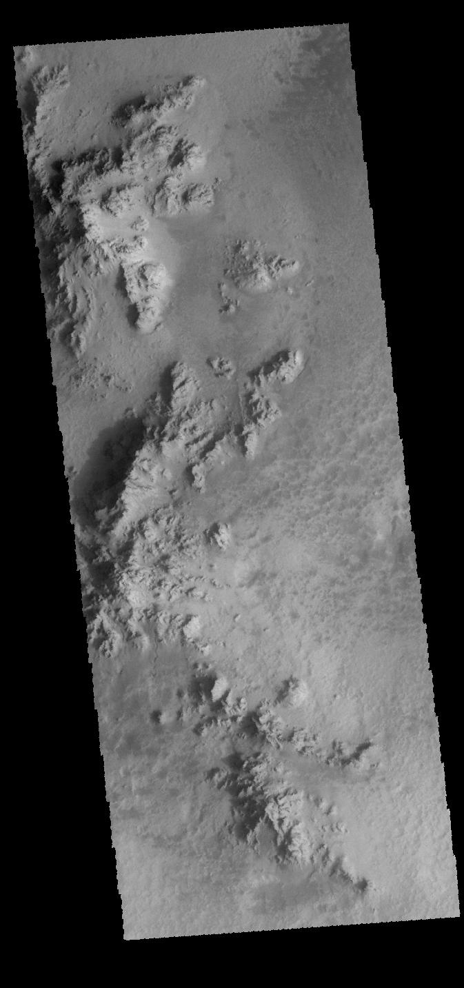
Context image This VIS image shows part of the floor of Hale Crater. The mountains in the image are part of the elongated central peak of the crater. It is believed that Hale Crater was formed by an oblique impact, which caused it's more oval form and central peak elongation.
Orbit Number: 66105 Latitude: -35.5732 Longitude: 323.646 Instrument: VIS Captured: 2016-11-07 23:04
Please see the THEMIS Data Citation Note for details on crediting THEMIS images.
NASA's Jet Propulsion Laboratory manages the 2001 Mars Odyssey mission for NASA's Science Mission Directorate, Washington, D.C. The Thermal Emission Imaging System (THEMIS) was developed by Arizona State University, Tempe, in collaboration with Raytheon Santa Barbara Remote Sensing. The THEMIS investigation is led by Dr. Philip Christensen at Arizona State University. Lockheed Martin Astronautics, Denver, is the prime contractor for the Odyssey project, and developed and built the orbiter. Mission operations are conducted jointly from Lockheed Martin and from JPL, a division of the California Institute of Technology in Pasadena.