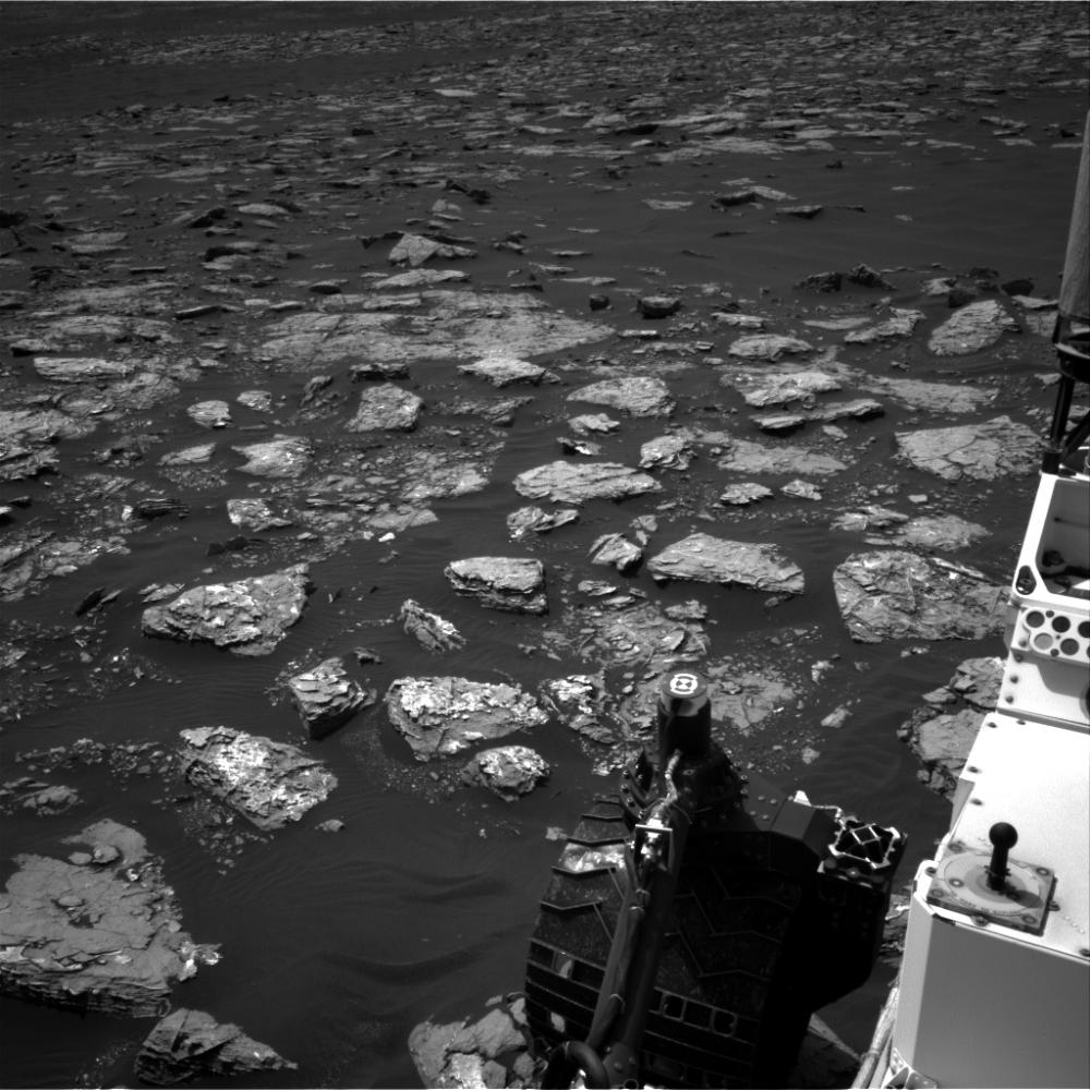
This view from the Navigation Camera (Navcam) on the mast of NASA's Curiosity Mars rover shows rocky ground within view while the rover was working at an intended drilling site called "Precipice" on lower Mount Sharp.
The right-eye camera of the stereo Navcam took this image on Dec. 2, 2016, during the 1,537th Martian day, or sol, of Curiosity's work on Mars. On the previous sol, an attempt to collect a rock-powder sample with the rover's drill ended before drilling began. This led to several days of diagnostic work while the rover remained in place, during which it continued to use cameras and a spectrometer on its mast, plus environmental monitoring instruments.
In this view, hardware visible at lower right includes the sundial-theme calibration target for Curiosity's Mast Camera.
NASA's Jet Propulsion Laboratory, a division of Caltech in Pasadena, California, manages the Mars Science Laboratory Project for the NASA Science Mission Directorate, Washington. JPL designed and built the project's Curiosity rover and the rover's Navcam.
For more information about Curiosity, visit http://www.nasa.gov/msl and http://mars.jpl.nasa.gov/msl.