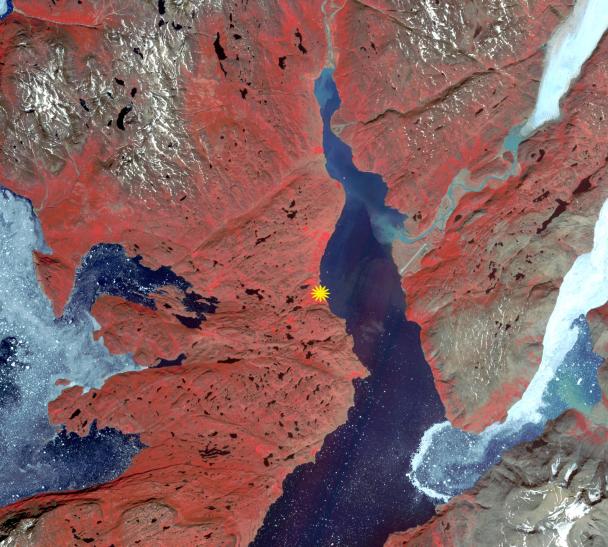
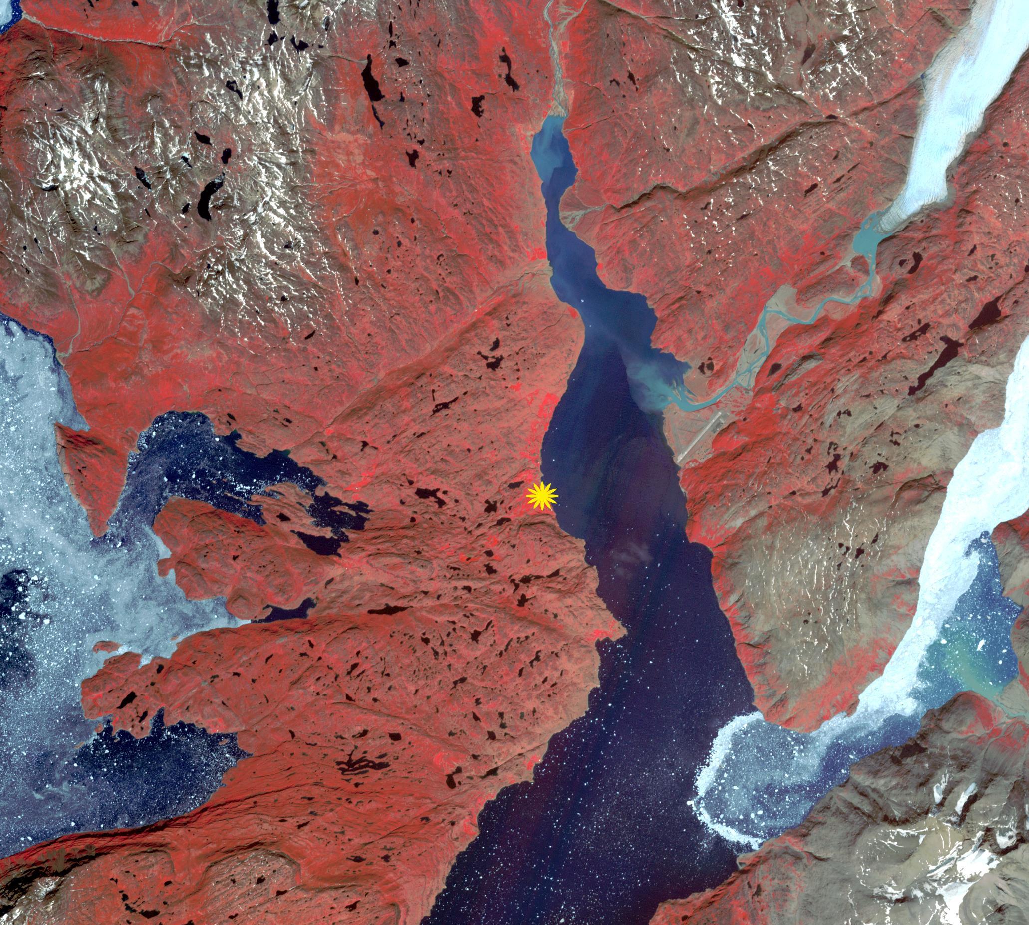
The first Norse settlement of Greenland was at Brattahlid (now Qassiarsuk), which yielded a radiocarbon date of about 1000. According to the sagas, it was also in the year 1000 that Leif Erikson left the settlement to explore the regions around Vinland, which is generally assumed to be Newfoundland. Norse settlements at their height had an estimated population of a few thousand. After 450 years, the settlements were all abandoned. Causes include: cumulative environmental damage; gradual climate change; conflicts with hostile neighbors; and loss of contact and support from Europe. The image was acquired June 13, 2016, covers an area of 30.9 by 27.7 km, and is located at 61.1 degrees north, 45.5 degrees west.
With its 14 spectral bands from the visible to the thermal infrared wavelength region and its high spatial resolution of 15 to 90 meters (about 50 to 300 feet), ASTER images Earth to map and monitor the changing surface of our planet. ASTER is one of five Earth-observing instruments launched Dec. 18, 1999, on Terra. The instrument was built by Japan's Ministry of Economy, Trade and Industry. A joint U.S./Japan science team is responsible for validation and calibration of the instrument and data products.
The broad spectral coverage and high spectral resolution of ASTER provides scientists in numerous disciplines with critical information for surface mapping and monitoring of dynamic conditions and temporal change. Example applications are: monitoring glacial advances and retreats; monitoring potentially active volcanoes; identifying crop stress; determining cloud morphology and physical properties; wetlands evaluation; thermal pollution monitoring; coral reef degradation; surface temperature mapping of soils and geology; and measuring surface heat balance.
The U.S. science team is located at NASA's Jet Propulsion Laboratory, Pasadena, Calif. The Terra mission is part of NASA's Science Mission Directorate, Washington, D.C.
More information about ASTER is available at http://asterweb.jpl.nasa.gov/.
 Planetary Data System


