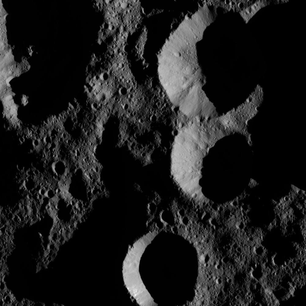
NASA's Dawn spacecraft obtained this view of shadowed craters near Ceres' north pole. Ceres has only a modest tilt of a few degrees to its rotational axis, so its polar regions do not experience drastic changes in the sun's angle and length of day like Earth's extreme north and south.
The image is centered at approximately 73 degrees north latitude, 246 degrees east longitude.
Dawn took this image on May 28, 2016, from its low-altitude mapping orbit, at a distance of about 240 miles (385 kilometers) above the surface. The image resolution is 120 feet (35 meters) per pixel.
Dawn's mission is managed by JPL for NASA's Science Mission Directorate in Washington. Dawn is a project of the directorate's Discovery Program, managed by NASA's Marshall Space Flight Center in Huntsville, Alabama. UCLA is responsible for overall Dawn mission science. Orbital ATK, Inc., in Dulles, Virginia, designed and built the spacecraft. The German Aerospace Center, the Max Planck Institute for Solar System Research, the Italian Space Agency and the Italian National Astrophysical Institute are international partners on the mission team. For a complete list of mission participants, see http://dawn.jpl.nasa.gov/mission.
For more information about the Dawn mission, visit http://dawn.jpl.nasa.gov.