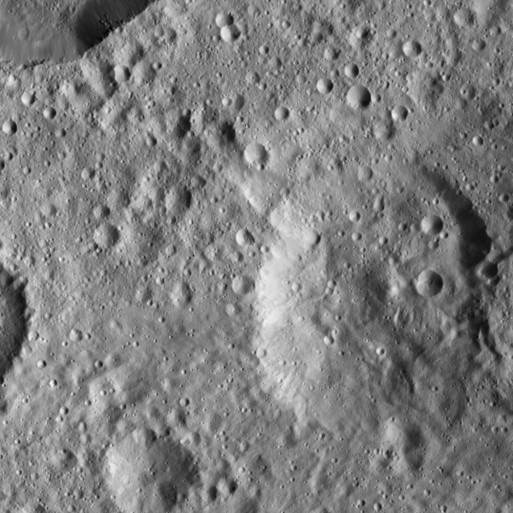
This view from NASA's Dawn spacecraft shows the same Cerean terrain as in PIA20383, but slightly to the northwest. The crater in the upper left corner displays smooth, relatively crater-free walls and small spurs of compacted material.
Dawn captured the scene on Jan. 8, 2016, from its low-altitude mapping orbit (LAMO), at an altitude of approximately 240 miles (385 kilometers) above Ceres. The image resolution is 120 feet (35 meters) per pixel.
Dawn's mission is managed by JPL for NASA's Science Mission Directorate in Washington. Dawn is a project of the directorate's Discovery Program, managed by NASA's Marshall Space Flight Center in Huntsville, Alabama. UCLA is responsible for overall Dawn mission science. Orbital ATK, Inc., in Dulles, Virginia, designed and built the spacecraft. The German Aerospace Center, the Max Planck Institute for Solar System Research, the Italian Space Agency and the Italian National Astrophysical Institute are international partners on the mission team. For a complete list of acknowledgments, see http://dawn.jpl.nasa.gov/mission.
For more information about the Dawn mission, visit http://dawn.jpl.nasa.gov.