
Map Projected Browse Image
Click on the image for larger versionAs of this date, MRO has been orbiting Mars for nine years. One benefit of MRO's nearly three completed extended missions is the chance to see landscapes change over time.
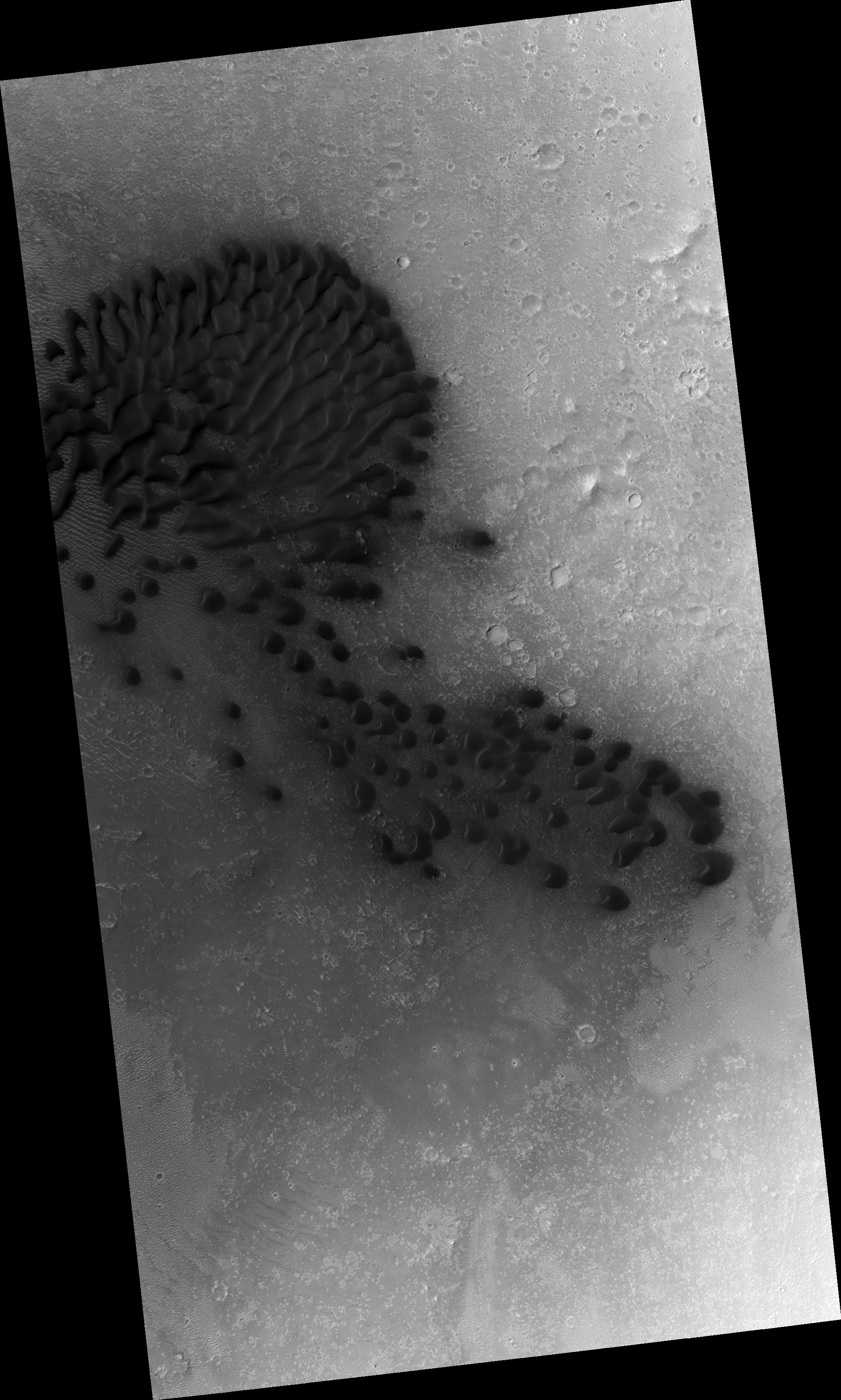
These barchan sand dunes are a case in point: these have been imaged at least five times already, and each time, a bit more movement is revealed.
The steeply-dipping slip faces (where sand slides down after it gets piled up on the dunes' crests) indicate the direction of the wind, although this particular dune field seems to show *two* converging wind directions.
The University of Arizona, Tucson, operates HiRISE, which was built by Ball Aerospace & Technologies Corp., Boulder, Colo. NASA's Jet Propulsion Laboratory, a division of the California Institute of Technology in Pasadena, manages the Mars Reconnaissance Orbiter Project for NASA's Science Mission Directorate, Washington.
