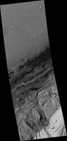
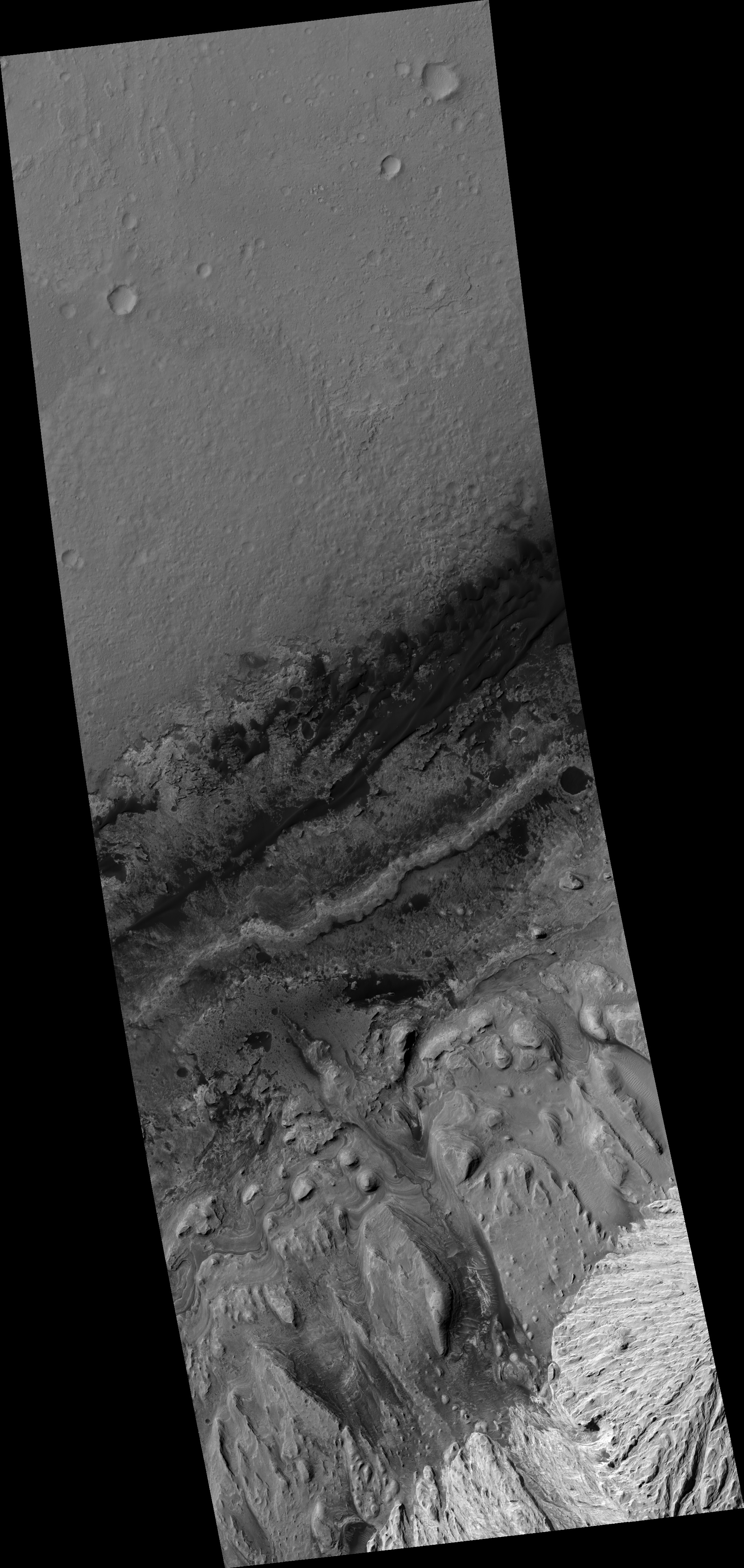
Map Projected Browse Image
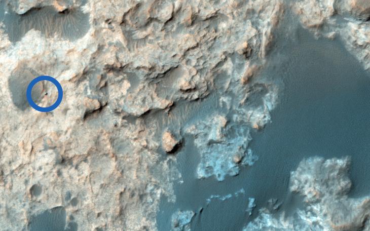
Click on the image for larger versionThe Mars Science Laboratory, Curiosity, continues its exciting traverse of Mars. In an image acquired in September, it was exploring the boundary between two rock units: the light-toned Murray Formation and the overlying and darker-toned Stimson unit. We can clearly see the rover in a complex terrain marked by tonally varied rocks, which on the surface, can correspond to the contact between rock units and dark sand.
In a second more recent image, the rover has moved quite aways from its previous location: it's now further south, closer to the dark Bagnold dune field. These red lines delineate the boundary of a sandstone outcrop imaged by Curiosity's Mastcam camera on 27 August 2015.
The University of Arizona, Tucson, operates HiRISE, which was built by Ball Aerospace & Technologies Corp., Boulder, Colo. NASA's Jet Propulsion Laboratory, a division of the California Institute of Technology in Pasadena, manages the Mars Reconnaissance Orbiter Project for NASA's Science Mission Directorate, Washington.