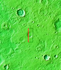
Context imageAll this week, the THEMIS Image of the Day is following on the real Mars the path taken by fictional astronaut Mark Watney, stranded on the Red Planet in the book and movie, The Martian.
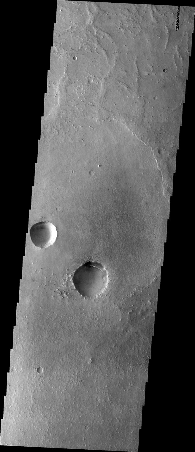
Today's image shows a part of the flat terrain of northern Meridiani Planum. This area lies about 300 kilometers (190 miles) north of where Mars rover Opportunity is currently exploring the rim rocks of Endeavour Crater. Meridiani is a large expanse of sedimentary rock, mostly flat-lying basalt sandstone with hematite nodules ("blueberries") embedded in it. Farther south from this scene, Opportunity has examined several craters like these that expose deeper rock layers. They show that the Meridiani sandstone is made of dune sands that were soaked in sulfur-rich water.
Flat terrain may make for dull scenery, but the driving is easy. This area is where astronaut Mark Watney turns his vehicle east toward Schiaparelli Crater. Before arriving here, he was driving south to get out from under a dust storm that threatened to shut off power to the vehicle's solar cells. At this point he has journeyed about 2,300 kilometers (1,400 miles) from Acidalia.
Orbit Number: 6304 Latitude: 2.51711 Longitude: 355.154 Instrument: VIS Captured: 2003-05-17 13:18
Please see the THEMIS Data Citation Note for details on crediting THEMIS images.
NASA's Jet Propulsion Laboratory manages the 2001 Mars Odyssey mission for NASA's Science Mission Directorate, Washington, D.C. The Thermal Emission Imaging System (THEMIS) was developed by Arizona State University, Tempe, in collaboration with Raytheon Santa Barbara Remote Sensing. The THEMIS investigation is led by Dr. Philip Christensen at Arizona State University. Lockheed Martin Astronautics, Denver, is the prime contractor for the Odyssey project, and developed and built the orbiter. Mission operations are conducted jointly from Lockheed Martin and from JPL, a division of the California Institute of Technology in Pasadena.
 Planetary Data System


