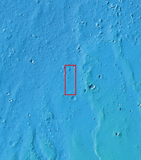
Context imageAll this week, the THEMIS Image of the Day is following on the real Mars the path taken by fictional astronaut Mark Watney, stranded on the Red Planet in the book and movie, The Martian.
Today's image shows a small portion of Acidalia Planitia, a largely flat plain that is part of Mars' vast northern lowlands. Scientists are debating the likelihood that the northern plains once contained a large ocean or other bodies of water, probably ice-covered.
In the story, Acidalia Planitia is the landing site for a human expedition to Mars. After a dust storm damages the crew habitat and apparently kills Watney, the remaining crew abandon the expedition and leave for Earth. Watney however is still alive, and to save himself he must journey nearly 4,000 kilometers (2,500 miles) east to Schiaparelli Crater, where a rescue rocket awaits.
Orbit Number: 27733 Latitude: 31.218 Longitude: 332.195 Instrument: VIS Captured: 2008-03-15 20:24
Please see the THEMIS Data Citation Note for details on crediting THEMIS images.
NASA's Jet Propulsion Laboratory manages the 2001 Mars Odyssey mission for NASA's Science Mission Directorate, Washington, D.C. The Thermal Emission Imaging System (THEMIS) was developed by Arizona State University, Tempe, in collaboration with Raytheon Santa Barbara Remote Sensing. The THEMIS investigation is led by Dr. Philip Christensen at Arizona State University. Lockheed Martin Astronautics, Denver, is the prime contractor for the Odyssey project, and developed and built the orbiter. Mission operations are conducted jointly from Lockheed Martin and from JPL, a division of the California Institute of Technology in Pasadena.

