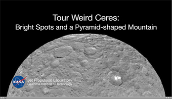
Click on the image for the animationThis video shows a series of animations of dwarf planet Ceres, generated from data from NASA's Dawn spacecraft.
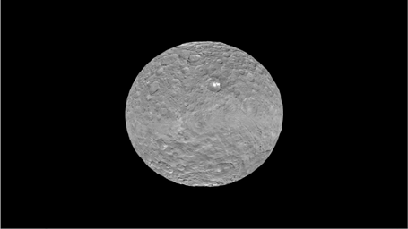
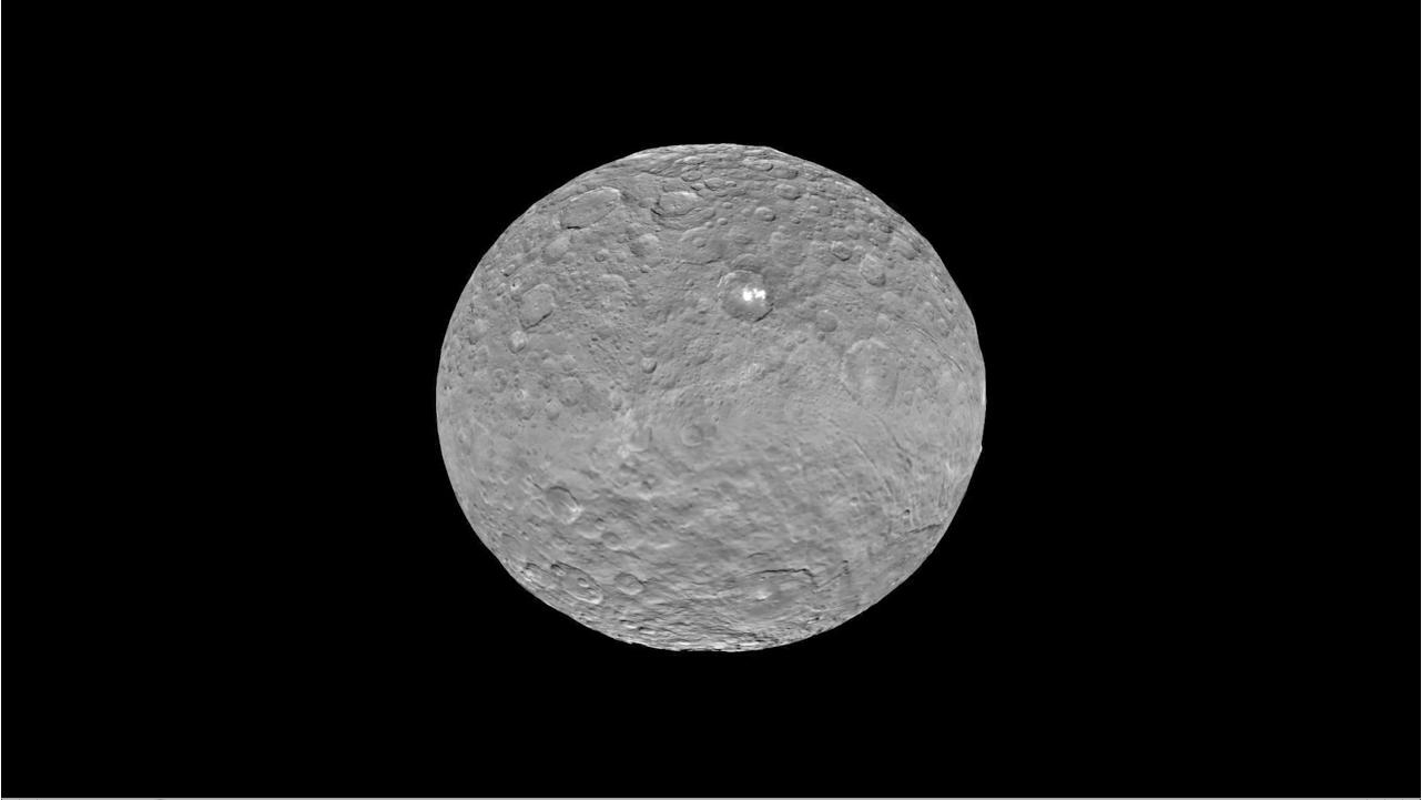
The global view uses data collected by NASA's Dawn mission in April and May 2015.
The highest-resolution parts of the map have a resolution of 1,600 feet (480 meters) per pixel.
The second portion of the video shows the bright spots in Occator crater, which is about 60 miles (90 kilometers) across and 2 miles (4 kilometers) deep. Vertical relief has been exaggerated by a factor of five. Exaggerating the relief helps scientists understand and visualize the topography more easily, and highlights features that are sometimes subtle.
The third portion of the video shows a mountain about 4 miles (6 kilometers) high, which is roughly the elevation of Mount McKinley in Alaska's Denali National Park. Vertical relief has been exaggerated by a factor of five. Exaggerating the relief helps scientists understand and visualize the topography much more easily, and highlights features that are sometimes subtle.
The fourth section of the video shows the global view from the first section in 3-D view. A pair of 3-D glasses reveals striking detail in the topography of the dwarf planet.
Dawn's mission is managed by JPL for NASA's Science Mission Directorate in Washington. Dawn is a project of the directorate's Discovery Program, managed by NASA's Marshall Space Flight Center in Huntsville, Alabama. UCLA is responsible for overall Dawn mission science. Orbital ATK, Inc., in Dulles, Virginia, designed and built the spacecraft. The German Aerospace Center, the Max Planck Institute for Solar System Research, the Italian Space Agency and the Italian National Astrophysical Institute are international partners on the mission team. For a complete list of acknowledgments, see http://dawn.jpl.nasa.gov/mission.
For more information about the Dawn mission, visit http://dawn.jpl.nasa.gov.
 Planetary Data System


