
Map Projected Browse Image
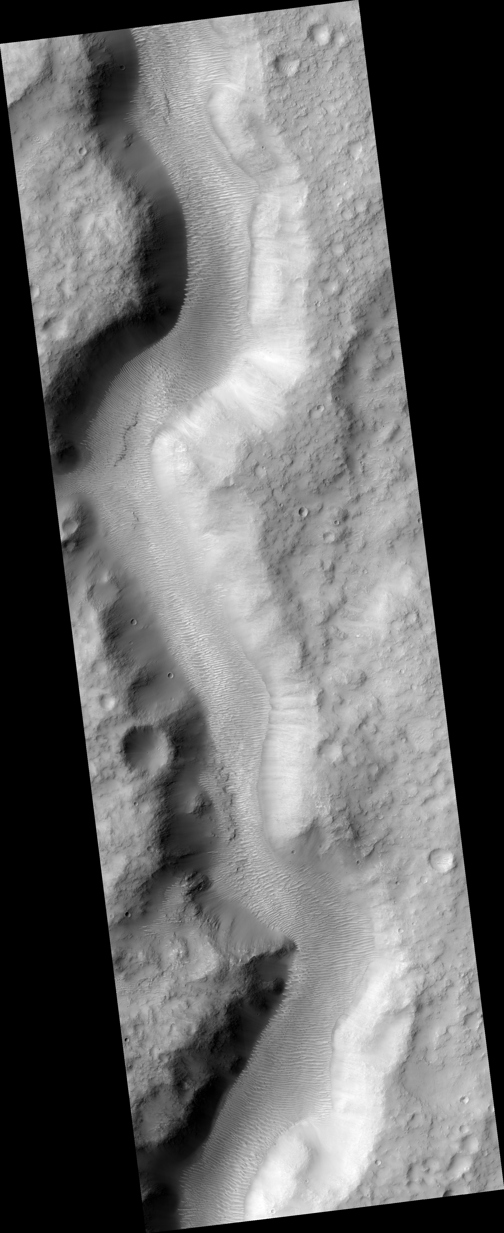
Click on the image for larger versionThis HiRISE image shows a valley filled with an assortment of linear ridges. These ridges are often referred to as transverse aeolian ridges, or TAR, and they take a variety of forms. Here they sit at right angles to the direction of the valley, because the topography funnels the wind along the trough.
At this location, some of the TAR have secondary structures, likely small ripples. It is common for sand dunes to be covered in small ripples, often with different orientations that may be shaped by winds redirected by the larger dunes. Here the secondary structures have an unusual radiating/converging pattern, giving the TAR here a feathery appearance.
HiRISE is one of six instruments on NASA's Mars Reconnaissance Orbiter. The University of Arizona, Tucson, operates HiRISE, which was built by Ball Aerospace & Technologies Corp., Boulder, Colo. NASA's Jet Propulsion Laboratory, a division of the California Institute of Technology in Pasadena, manages the Mars Reconnaissance Orbiter Project for NASA's Science Mission Directorate, Washington.
