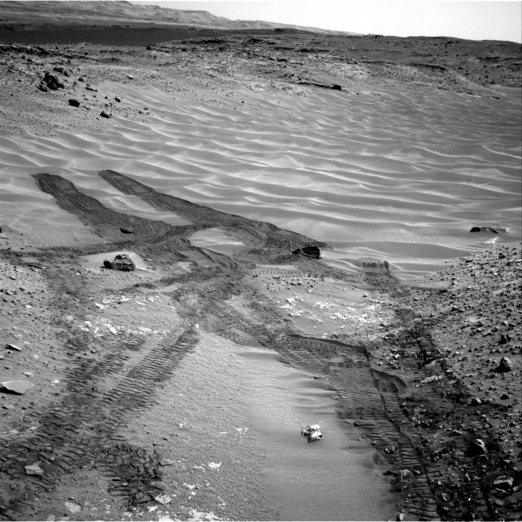
This image from NASA's Curiosity Mars rover looks down the ramp at the northeastern end of "Hidden Valley" and across the sandy-floored valley to lower slopes of Mount Sharp on the horizon.
Curiosity used its Navigation Camera (Navcam) to capture this southward view during the 717th Martian day, or sol, of the rover's work on Mars (Aug. 12, 2014). By that date, Curiosity had entered and exited the valley via this ramp. The rover subsequently descended the ramp partway to approach a pale outcrop bearing a candidate rock for drilling. The drilling candidate, called "Bonanza King," is just outside of this view, closer to the rover than the foreground of the scene.
For scale, the distance between parallel pairs of Curiosity's wheel tracks is about 9 feet (2.7 meters).
A map showing Hidden Valley is at PIA18408.
NASA's Jet Propulsion Laboratory, a division of the California Institute of Technology, Pasadena, manages the Mars Science Laboratory Project for NASA's Science Mission Directorate, Washington. JPL designed and built the project's Curiosity rover and the rover's Navcam.
More information about Curiosity is online at http://www.nasa.gov/msl and http://mars.jpl.nasa.gov/msl/.
