
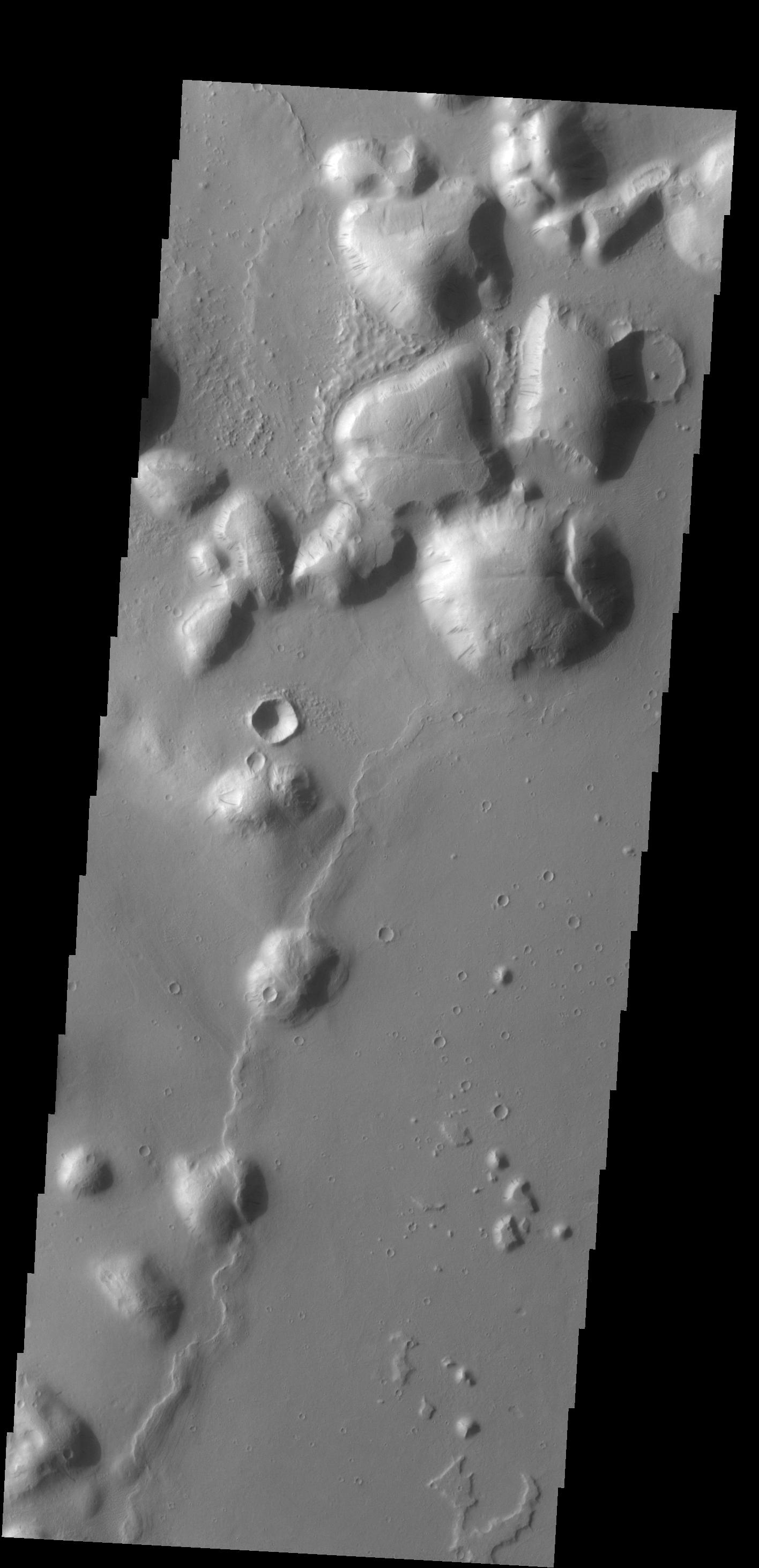
Context imageThe hills in this VIS image are part of Tartarus Colles. Several of the hills have dark slope streaks, believed to be formed by downslope removal of dust revealing the darker rock beneath.
Orbit Number: 53811 Latitude: 26.2606 Longitude: 186.421 Instrument: VIS Captured: 2014-01-30 16:28
Please see the THEMIS Data Citation Note for details on crediting THEMIS images.
NASA's Jet Propulsion Laboratory manages the 2001 Mars Odyssey mission for NASA's Science Mission Directorate, Washington, D.C. The Thermal Emission Imaging System (THEMIS) was developed by Arizona State University, Tempe, in collaboration with Raytheon Santa Barbara Remote Sensing. The THEMIS investigation is led by Dr. Philip Christensen at Arizona State University. Lockheed Martin Astronautics, Denver, is the prime contractor for the Odyssey project, and developed and built the orbiter. Mission operations are conducted jointly from Lockheed Martin and from JPL, a division of the California Institute of Technology in Pasadena.
