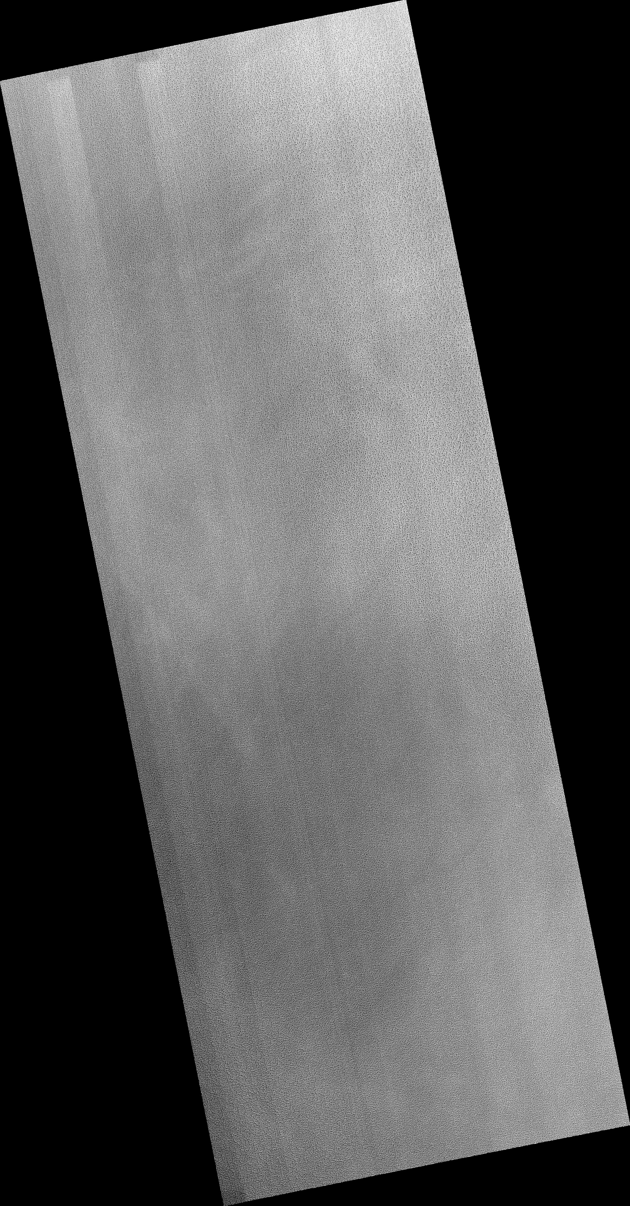
Map Projected Browse Image
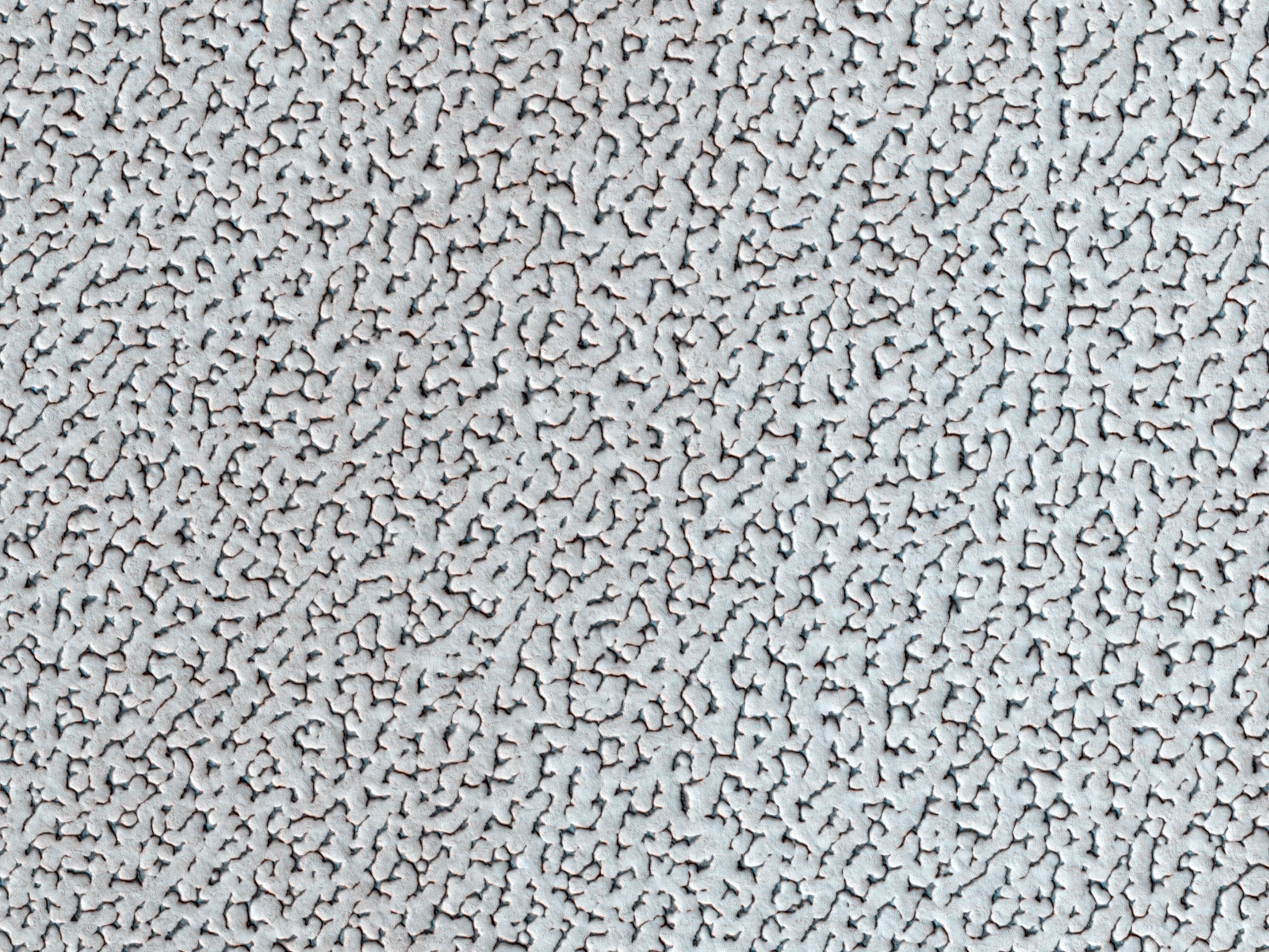
Click on the image for larger versionA bright ice cap of frozen water covers the North Pole of Mars. In the winter, thin coverings of carbon dioxide and water frost covers this area and these frosts finally disappear at the end of the Martian spring season.
In this image, the winter frosts are about to disappear and we can begin to see the surface features of the ice. The ice cap would be a bad place to get lost: it's one of the smoothest, flattest places on Mars so there are no landmarks visible. The surface features are gently rolling hummocks (or small mounds) and hollows about a meter (3 feet) in height and about 20 meters (60 feet) across. This monotonous landscape continues for hundreds of kilometers in every direction with this same repeating pattern.
Scientists do not know what makes this pattern so uniform over such large distances; we acquire HiRISE images like this one to look for small differences in these icy features from one place to another. Understanding this surface can help us understand the current climate and meteorological conditions at the North Pole of the Red Planet.
HiRISE is one of six instruments on NASA's Mars Reconnaissance Orbiter. The University of Arizona, Tucson, operates the orbiter's HiRISE camera, which was built by Ball Aerospace & Technologies Corp., Boulder, Colo. NASA's Jet Propulsion Laboratory, a division of the California Institute of Technology in Pasadena, manages the Mars Reconnaissance Orbiter Project for the NASA Science Mission Directorate, Washington.
