
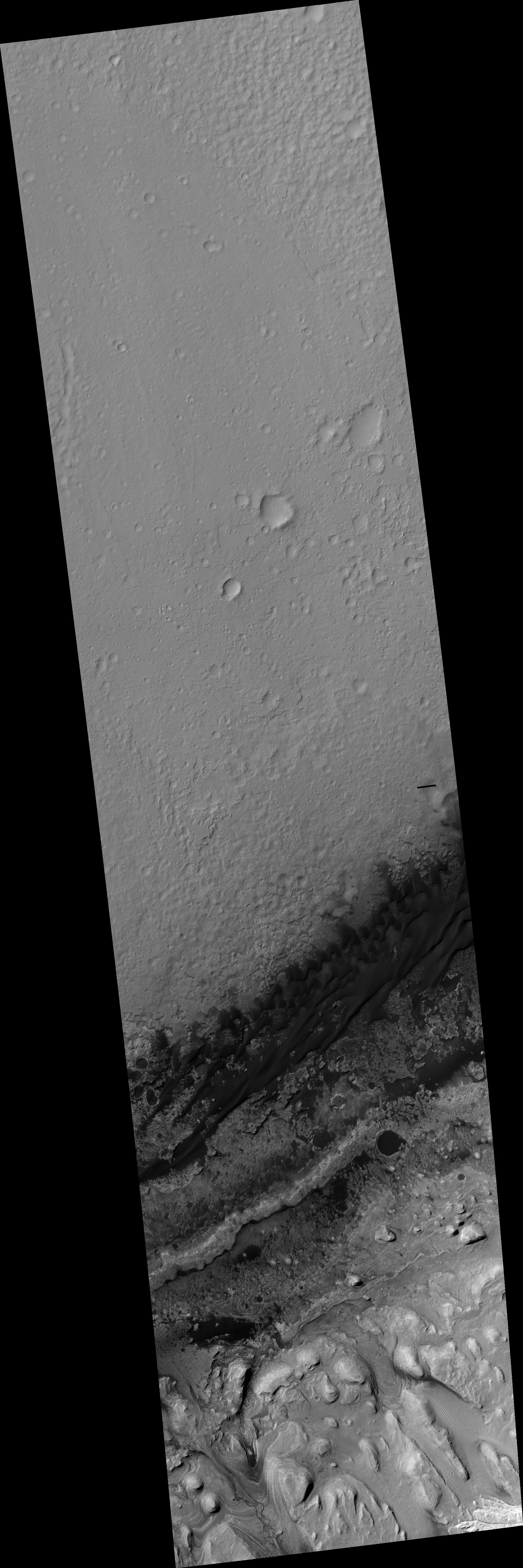
Map Projected Browse Image
Click on the image for larger versionIn this image, we see the saddle between two valleys named Dingo Gap-in Gale Crater-where the rover Curiosity just traversed. The gap is spanned by a single dune visible both from the ground and from orbit. (The rover itself is not in this image as it was acquired before MSL landed.)
With images taken with the Mastcam on Curiosity, we can see a view looking northwest and the Dingo Gap where the rover recently crossed.
HiRISE is one of six instruments on NASA's Mars Reconnaissance Orbiter. The University of Arizona, Tucson, operates the orbiter's HiRISE camera, which was built by Ball Aerospace & Technologies Corp., Boulder, Colo. NASA's Jet Propulsion Laboratory, a division of the California Institute of Technology in Pasadena, manages the Mars Reconnaissance Orbiter Project for the NASA Science Mission Directorate, Washington.
