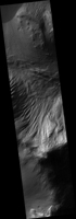
Map Projected Browse Image
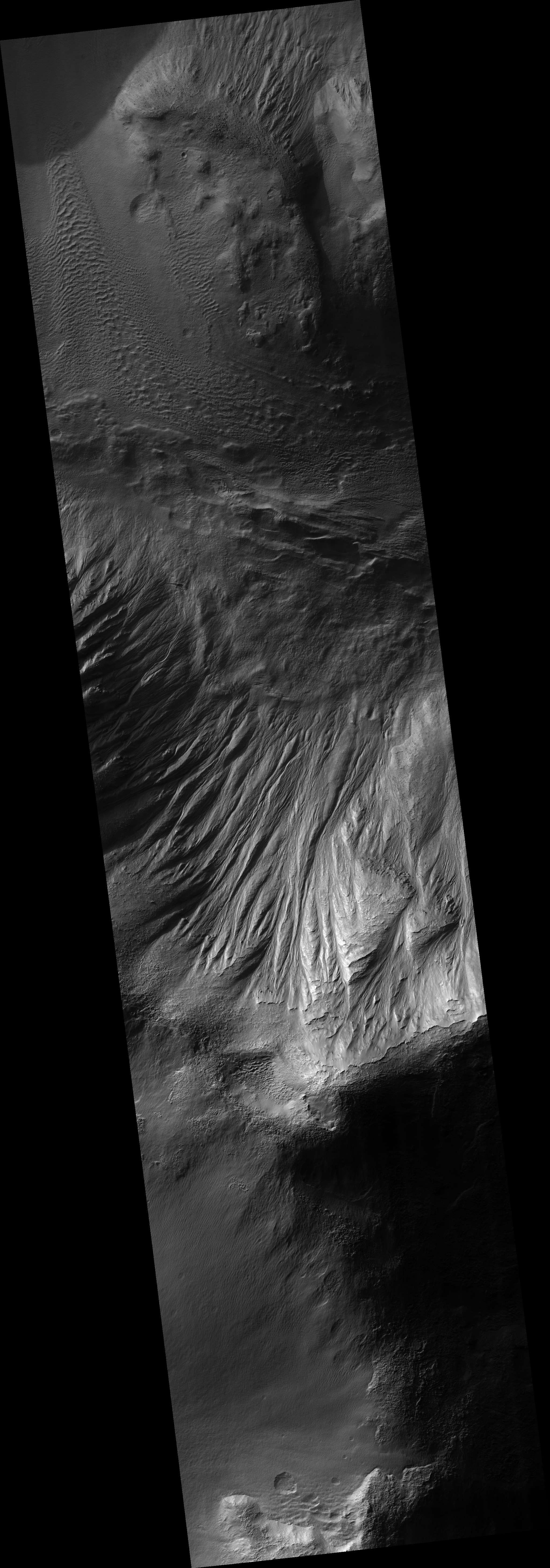
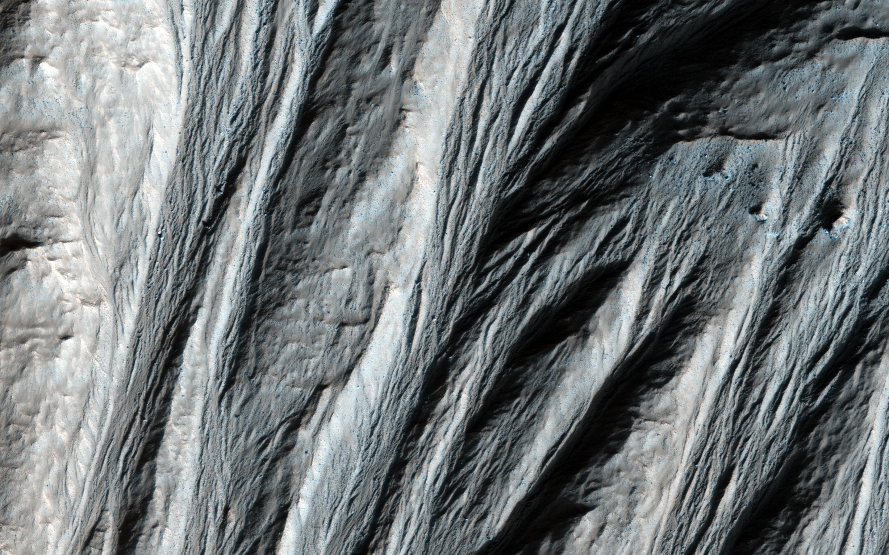
Click on the image for larger versionThis image shows gullies that are large even by Mars standards, and much larger than the terrestrial landforms we call gullies. The length of some of these is over 6 kilometers (3.6 miles).
They are located on large mountains north of the Argyre impact basin. An enhanced color view (reduced scale) shows only subtle color differences.
HiRISE is one of six instruments on NASA's Mars Reconnaissance Orbiter. The University of Arizona, Tucson, operates the orbiter's HiRISE camera, which was built by Ball Aerospace & Technologies Corp., Boulder, Colo. NASA's Jet Propulsion Laboratory, a division of the California Institute of Technology in Pasadena, manages the Mars Reconnaissance Orbiter Project for the NASA Science Mission Directorate, Washington.
