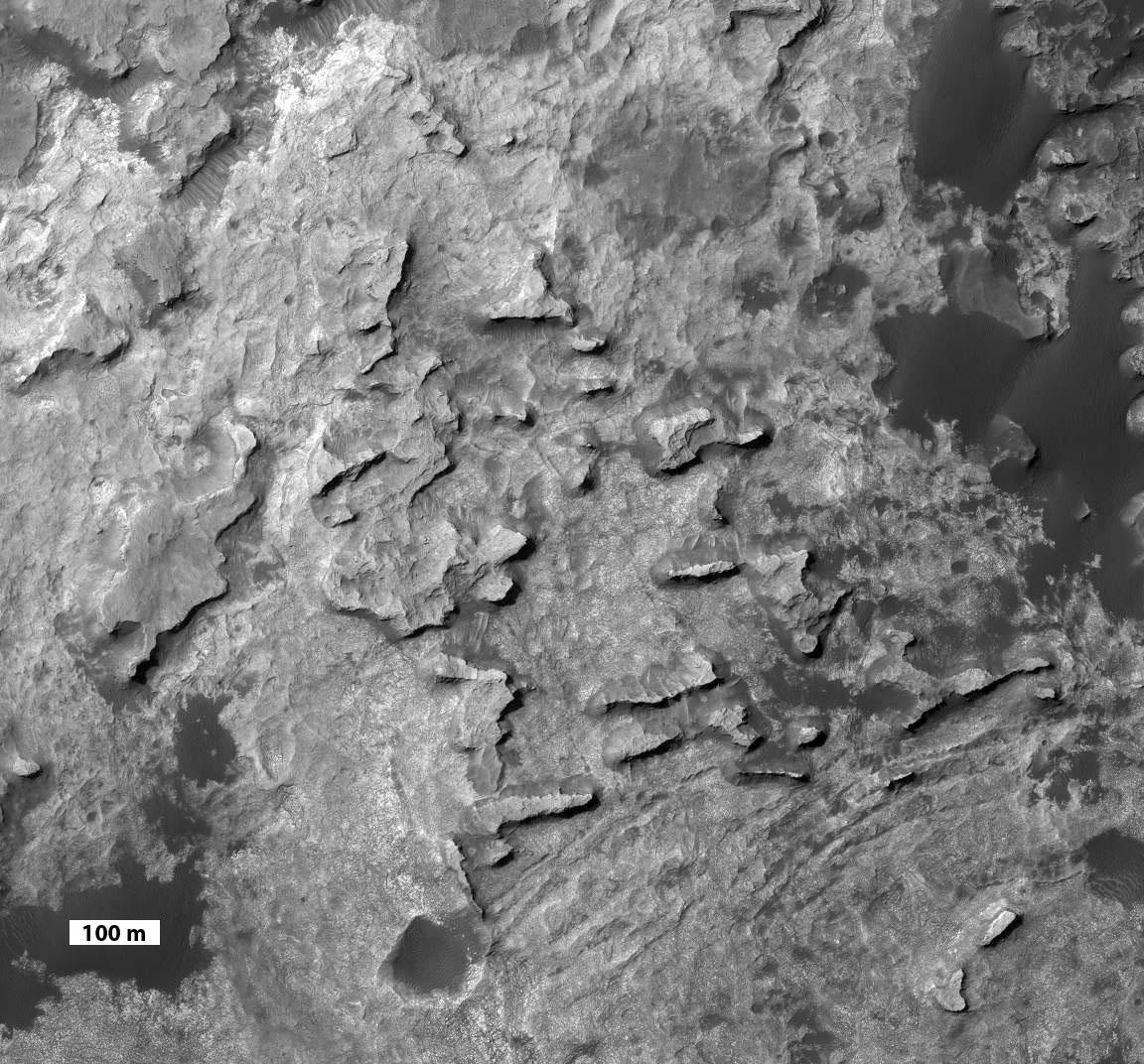
This view taken from orbit shows a cluster of small, steep-sided knobs called "Murray Buttes," on the planned route for NASA's Mars rover Curiosity to reach the slopes of Mount Sharp.
The scene covers a patch of ground about 0.8 mile (1.3 kilometers) across. North is up. The largest buttes in the group are about the size of a football field and the height of a goal post. Darker ground at upper right and lower left is part of sand dunes along the northern edge of Mount Sharp, within Gale Crater. Murray Buttes is located at a gap in that band of dunes, making passage through this area an attractive access route to the mountain slopes just south of this scene.
Curiosity's science team chose the informal name Murray Buttes in tribute to Bruce Murray (1931-2013), an influential advocate for planetary exploration who was a member of the science teams for NASA's earliest missions to Mars and later served as director of NASA's Jet Propulsion Laboratory.
The image is a portion of an observation made by the High Resolution Imaging Science Experiment (HiRISE) camera aboard NASA's Mars Reconnaissance Orbiter. A scale bar of 100 meters (328 feet) is provided at lower left.
