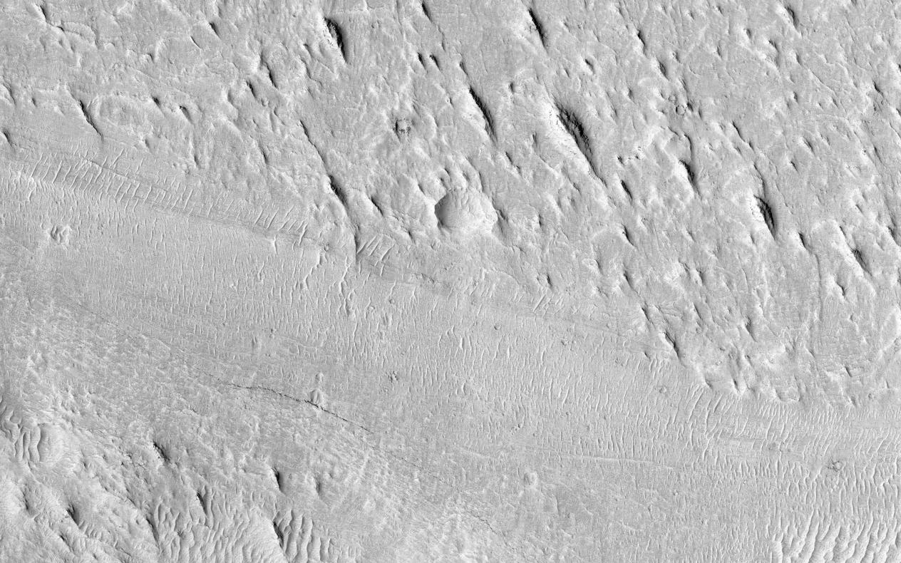
At this location is an exceptionally long sinuous ridge, possibly an inverted fluvial feature, that cuts across newly mapped geologic units of the Medusae Fossae Formation.
In the eastern part of the image, the sinuous ridge appears in a manner that suggests erosion of the surrounding landscape. Interestingly, this fluvial feature has no elevation within and to the west location, indicating that fluvial activity may have occurred within this material before widespread erosion.
With HiRISE resolution, we might be able to have more information on the timing of fluvial activity and its relationship to the history of the Medusa Fossae formation.
HiRISE is one of six instruments on NASA's Mars Reconnaissance Orbiter. The University of Arizona, Tucson, operates the orbiter's HiRISE camera, which was built by Ball Aerospace & Technologies Corp., Boulder, Colo. NASA's Jet Propulsion Laboratory, a division of the California Institute of Technology in Pasadena, manages the Mars Reconnaissance Orbiter Project for the NASA Science Mission Directorate, Washington.