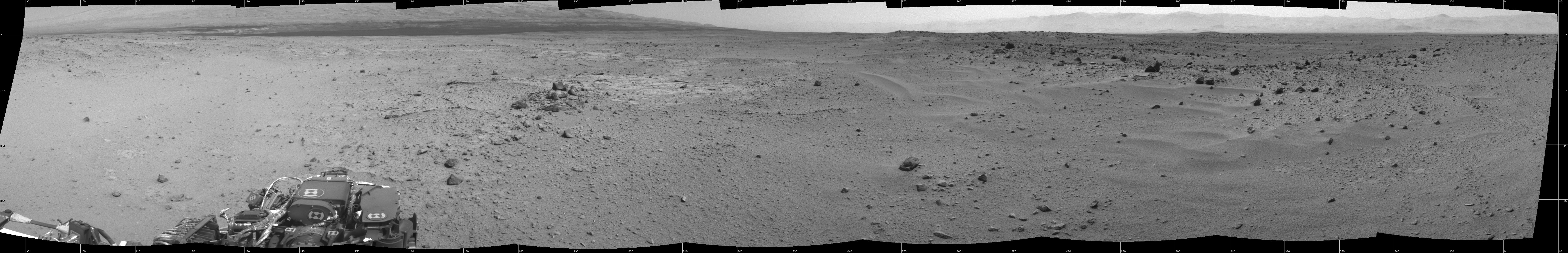
This mosaic of images from the Navigation Camera (Navcam) on NASA's Mars rover Curiosity shows the scene from the rover's position on the 376th Martian day, or sol, of the mission (Aug. 27, 2013). The images were taken right after Curiosity completed the first drive during which it used autonomous navigation on unknown ground.
The view is centered toward the southwest and spans from east, at left, to north, at right. The prominent rock pile in the middle distance, left of center, is called "Discovery Ridge." The largest rocks in that pile are about 1 foot (0.3 meter) across. About 26 feet (8 meters) to the right of Discovery Ridge is a ripple of wind-deposited material. The ripple is about 13 feet (4 meters) long and begins about 33 feet (10 meters) from the rover.
The mosaic is presented as a cylindrical projection.
NASA's Jet Propulsion Laboratory, a division of the California Institute of Technology, Pasadena, manages the Mars Science Laboratory Project for NASA's Science Mission Directorate, Washington. JPL designed and built the project's Curiosity rover.
More information about Curiosity is online at http://www.nasa.gov/msl and http://mars.jpl.nasa.gov/msl/.
